If you have a bucket list, you should get up right now, go get a pen and write “Do the West Coast, NZ” on it. If you’ve done the West Coast once or twice before you should still get up and go and write in on your list. If you’ve done the West Coast a hundred times, you should think about it, and know that you should go and write in on your list, again!
I may be slightly bias, being born in the thriving metropolis of Westport, self-publicized as “New Zealand’s Happiest Place” with all the mod cons*, but there is something special about “The Coast”. The Coast has a rugged, rundown, weather battered, stalwart charm about it – a combination of it’s sense of community and it’s world renowned scenery – it’s set between the rough southern reaches of the Tasman Sea and the towering Southern Alps, and the weather from deep in the Southern Ocean loves to come up and give it a good old fashioned battering – but all this adds to the charm. So you’ve got a thin strip of land, being attacked by crashing waves and thundering storms on one side while being blocked in by massive mountains on the other, which houses the thriving metropoli of Haast, Hokitika, Greymouth, Westport and Karamea and numerous small settlements, such as Karangarua, Whataroa, Kakapotahi, Rapahoe, Ngakawau and Mokihinui, amongst many others. Put all this together and it makes a little sense why the Coast’s slogan is “untamed natural wilderness”.
*The Happiness of New Zealand Report – UMR Research 2012
So when faced with the really tough decision of having 6 days, the South Island and a motorbike, you can see why we had to think long and hard before deciding to hit the Coast……..again. Although it would be remiss not to mention there were a couple of other factors in play:
1). The Department of Conservation has started this thing called Kiwi Guardians. It’s an activity programme for kids to learn about nature and earn cool rewards, and ultimately become future guardians of New Zealand. Not only is it super cool to encourage your kids to get out and enjoy the outdoors, but you’re guaranteed to find some really beautiful places across the country that you didn’t even know existed, so it’s equally cool for the parents as well.
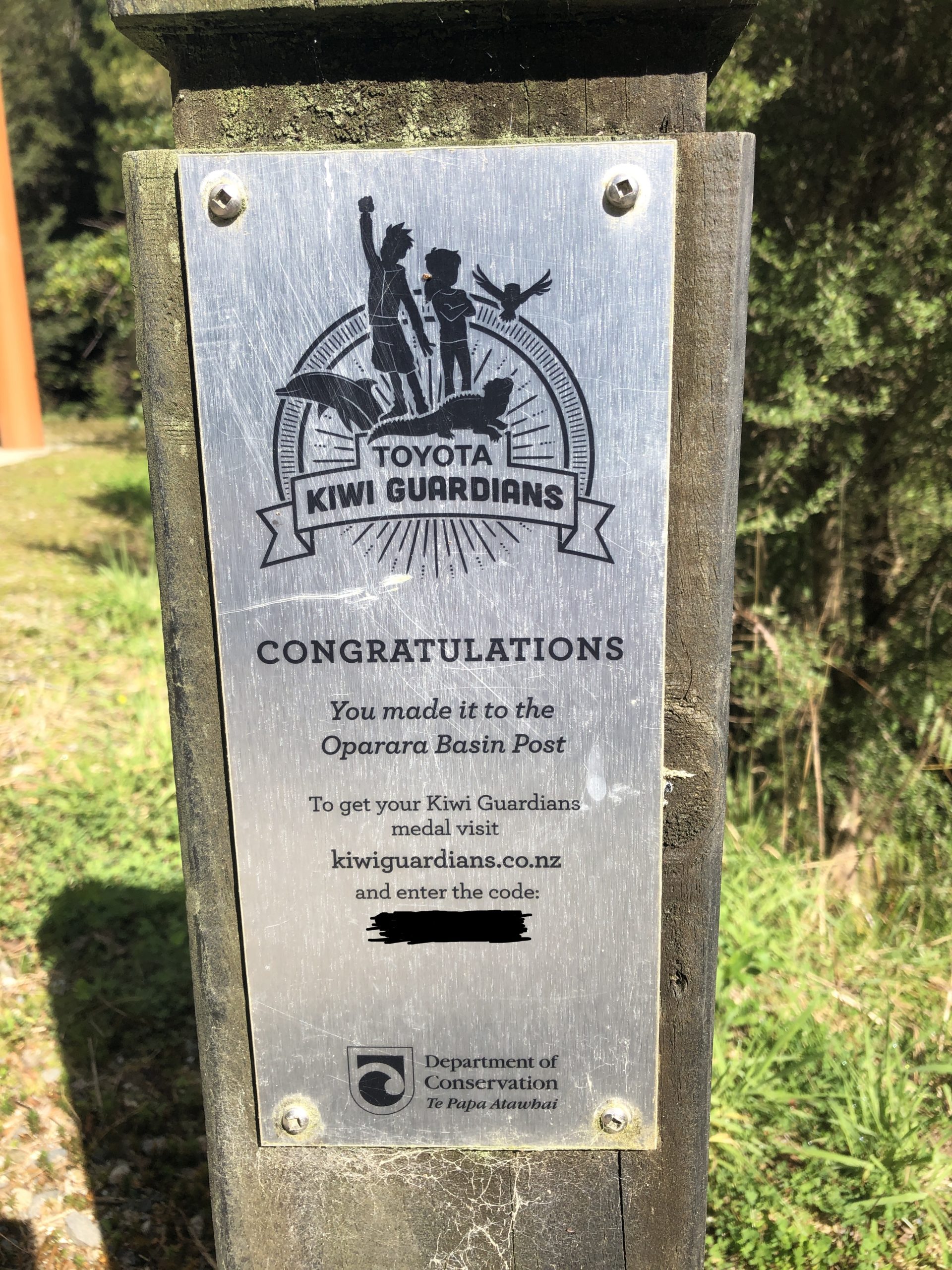
So, my son has really got into these Kiwi Guardians adventures, where you’re given an adventure map to explore a Kiwi Guardian site. You’re looking for a Guardian Post, which gives you a code word for the site, then when you get home you enter the code word into the website and earn a choice little wooden medal. He’s been on a mission, and it’s involved a few Guardian Post road trips, which has been great and he’s now got quite a collection of medals. We then spent some time recently marking down the sites left in the South Island that we hadn’t been to – see below.
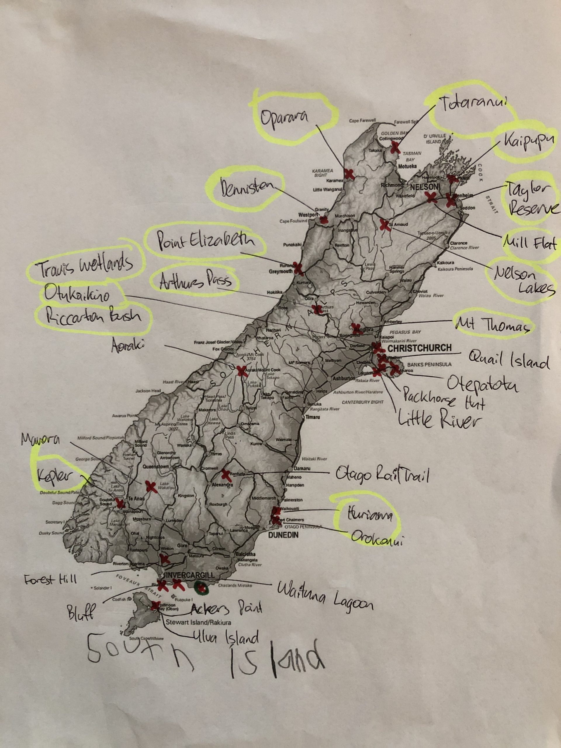
And if you look closely at the top left hand corner there are a couple of sites, Oparara and Totaranui that are a very long way from Dunedin, and also not on any other route that we would take if heading on holiday. So he asked me how he was going to get these two medals – to which I very magnanimously replied that I would ride my bike to these locations to get the code words for him. My partner let out a resigned sigh and said that might be ok.
2). Furthermore, Steve and I have written a bit of a “yet to be done adventures” list, and on this list resides a few places up around the top of the South Island – such as Anatori, French Pass and an apparent track between Denniston and the Iron Bridge – don’t worry I will elaborate more on these places as we go along.
3). And to top it off, Steve and family are off to Germany in July and I have this intense thing starting at work at the end of February (NB – this trip happened in Feb 2022) where I need to be on-call for three+ months straight meaning our last opportunity for a meaningful adventure lay before this.
So pleadingly we asked our respective families for the time needed to tick off these Guardian Post sites, these unticked adventure sites and the chance for one final big adventure before we live on opposite sides of the world for eighteen months or so. Thankfully they agreed and it was on.
We hit the road on a Tuesday afternoon, well to be honest it was really evening before we actually got underway. I had the small matter of some work meetings in Invercargill with my big boss to deal with, followed by getting back to Dunedin. Fortunately I’d packed my bike before I left for Invercargill, so I raced home, Steve turned up and we got underway heading as far west as we could get in the late evening – you know we love to ride west into a setting sun – hahaha!!!!!!
But we were on the road again, and that was all that mattered. The layers of work, family life and any other pressure points melted away as the kilometers slid by. That riding meditation feeling hit hard and fast, we needed the relief and it immediately breathed new life into us. We were on the road for 6 days, the feeling does not get old – in fact, usually it quickly escalates and someone suggests we just carry on for an extra 30, 40, 50 or more days!!!
We found the groove quickly and in one push hit Omakau deep in Central Otago. It was now dusk and we hadn’t actually had any dinner or planned anywhere to stay, and it was supposed to rain heavily tonight. Some quick phone calls revealed that no campgrounds around actually had any cabins available at all, or it was already too late and their receptions had finished for the day. One final attempt got us a cabin at the holiday park in Alexandra, it was a roof so it was good. Although it turned out to be a little more like a Soviet bloc style accommodation than a relaxing NZ holiday park, but it was a roof and it proved a great call as it absolutely bucketed down in the night!!!! We also dined like kings, hitting the Alex Night and Day for a luke warm pie (almost a typo to say puke warm – which is about right!!!). We were underway and loving it, and you know you’re on an adventure when you go to these crazy unusual far-flung places like Alexandra and eat their culturally unique street food, hinted with that worry of food poisoning, nothing like putting yourself way out there!!!!
The real Day 1 dawned bright and blue, a turn around from the heavy rain overnight and we had some miles to get under our belt. We wanted to get as far north up the West Coast as we could today – it was a day all about riding, riding the miraculous West Coast. And as luck would have it, although we could argue that it might have been planning that would have it, the day was sparkling on the Coast. How far could we get? Last time we did this we started a couple hours further up the road in Makarora and got into the Buller Gorge – could we match that today?
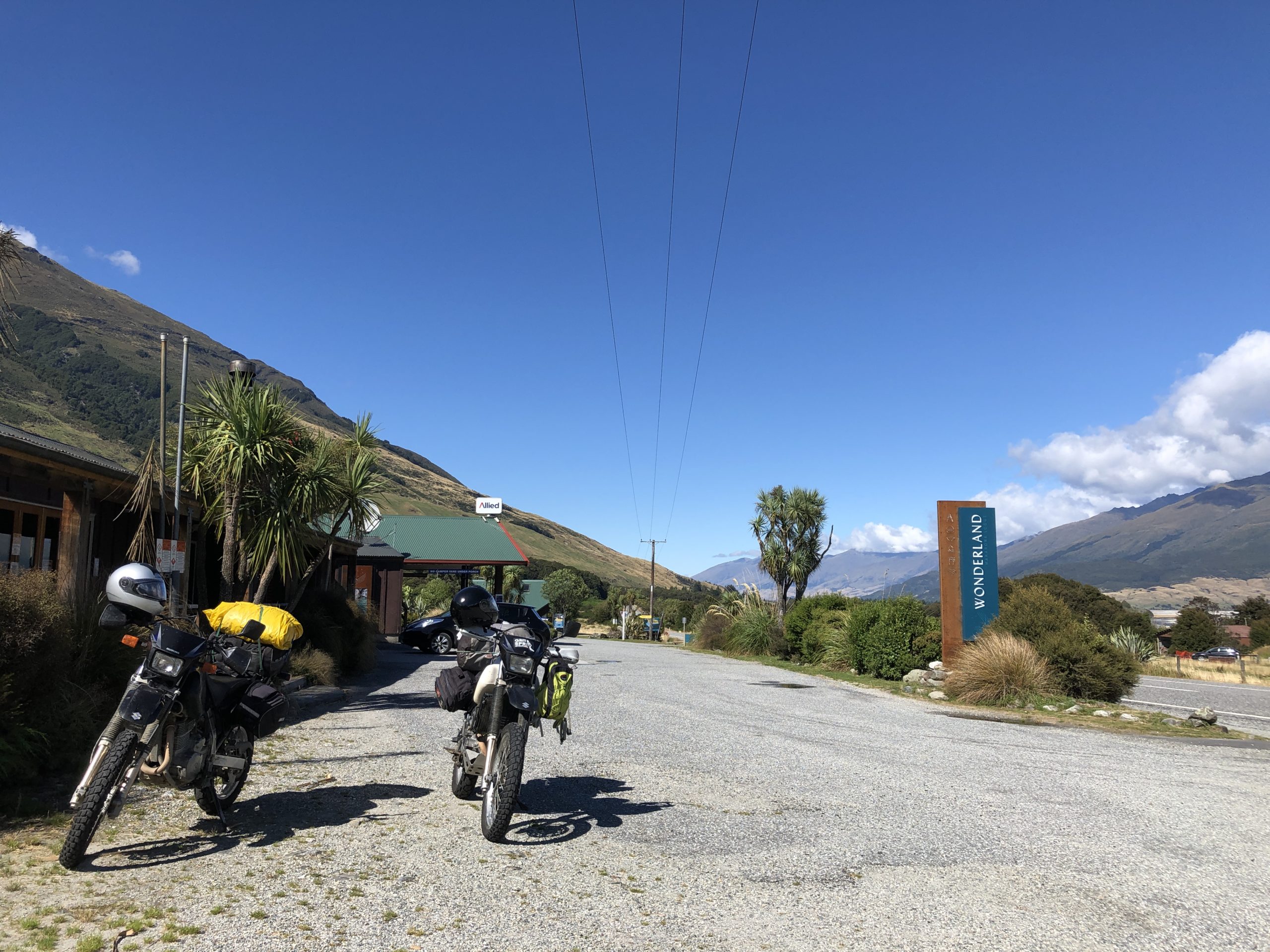
Time would tell but we just knuckled down and enjoyed the riding – well mostly enjoyed it, the roads were quiet, the sun was shining and we had days of this to come. But very strangely our side of the road had this strip of tarmac that had recently been resealed – it was right down the centre of our side of the road. It was highly perturbing, it looked slippery, with loose bits and little ridges on the sides – although it actually was none of these things – but the look of it made us super nervous. It carried on for miles and miles – what could it be? Maybe we could find out in Makarora, or maybe we couldn’t given everything was locked up tight.
On we went, next stop Haast… but first lines of traffic backed up in the middle of the Haast Pass – what is this? We cruised up the front and there was a stop-go man, so we tucked in and had a chat. He told us they were laying the last piece of the fibre line from Wanaka to Haast. Steve quickly cottoned on to what was going on here – he realised that the government was spending millions and millions of dollars so the 84 people of Haast (according to the 2018 census) could access high definition porn!!!!
We arrived in Haast and found a café open for business – breakfast time, well lunchtime actually given it was near to midday. The waitress proudly told us they were excited for the fibre to be finished and then mentioned they’d finally got their own cell tower, right in the middle of town, only a couple of years ago. Hugely exciting times down in Haast!!!
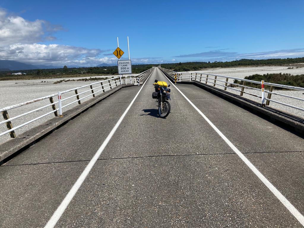
After a pretty decent feed, the sunshine and the open road beckoned and we hit it hard. Apparently you can’t beat Wellington on a good day, but the Coast totally destroys Wellington when it has a good day, and although today wasn’t perfect, it was pretty damn good. And the riding met the standard too, we immediately hit the windy roads of Ship’s Cove and Knights Point, which was just the warm-up. The main event is the saddle between Fox Glacier and Franz Josef Glacier, just spectacular. We had a little fun with a couple of other guys on big bikes (apparently there was some motorbike event somewhere – the Burt Munro or something like that!!!), they thought they were awesome smashing us on the big open straights but as soon as we got onto some windy stuff we showed them what the DRs could do. It was fun times!!
On up the coast we headed, cruising and watching the kms roll by. Riding meditation was in full flow – only restricted by the inordinate number of stop go signs, traffics lights and general road clear-ups. There was a big storm down here a few days back (which one I hear you ask), and the roads took a pretty massive hammering. But they only slowed us down slightly and we made sensational time rolling into Hokitika to fill up by late afternoon.
We’d made such good time and covered so many kms we decided to stop in on a friend of Steve’s in Rapahoe, just north of Greymouth. We had a cup of tea with Jan at Breakers Boutique Accommodation and a well deserved break while watching the sun set on the stunning coastline. Check out their website – what a spot!!!
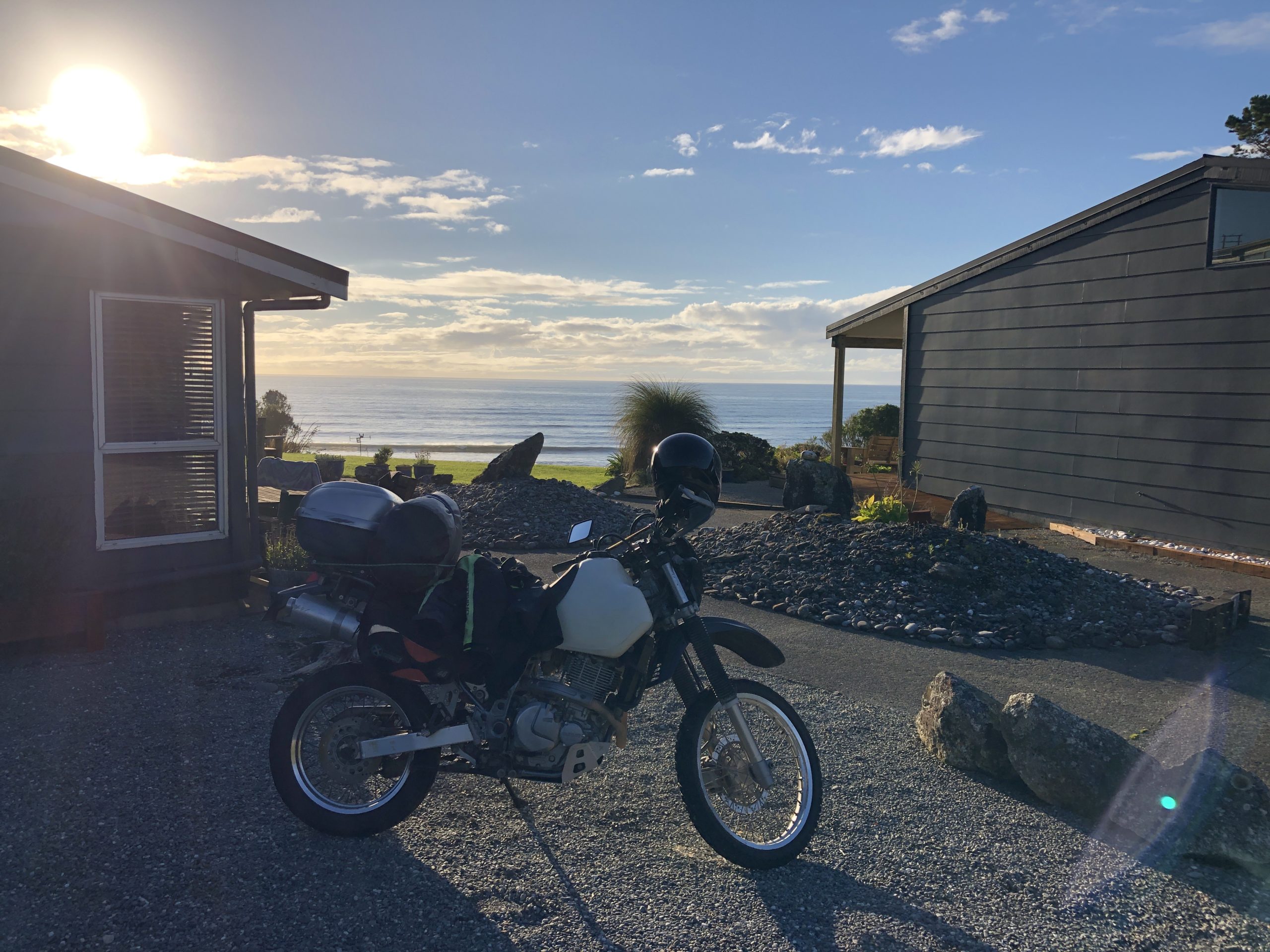
After recharging our bodies, but not our souls as they were already overflowing, we decided to continue on and see how far we could get. We had plans for tomorrow and wanted to get as far north as we could today, noting that the farthest we could go was Mokihinui as the road was closed from there onwards over the Karamea Bluff – but that’s another story I’ll tell you about tomorrow – well, blog tomorrow really, which is actually a couple of paragraphs further down 😉
So leaving Jan’s place, we were faced with one of the best roads in the world, the Great Coast Road, and in the late evening light while the road was quiet, it was a sensational time to be riding. The kms continue to melt under us like hot butter, it was so luxurious and we had days of this to come. We were in heaven!!
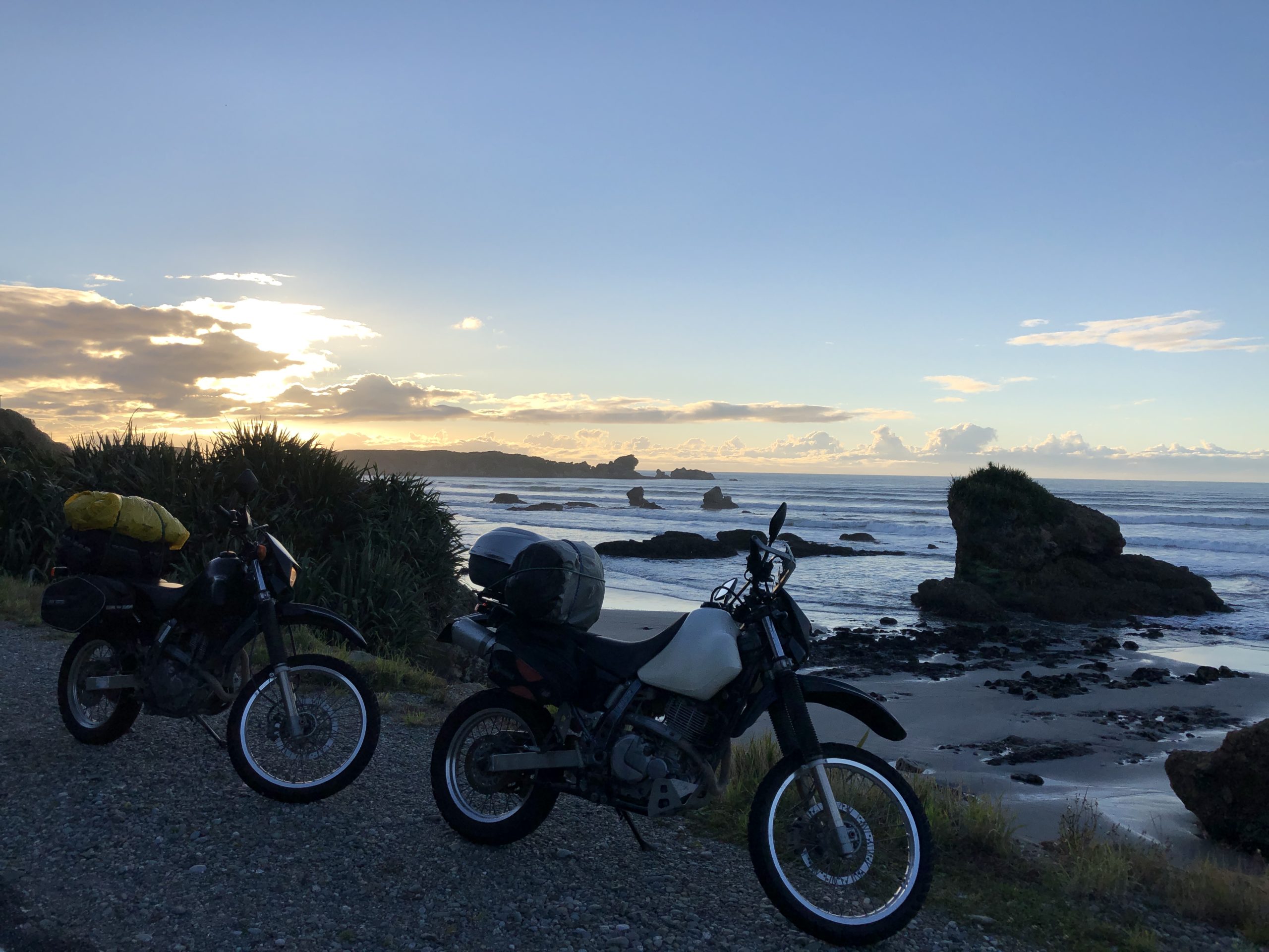
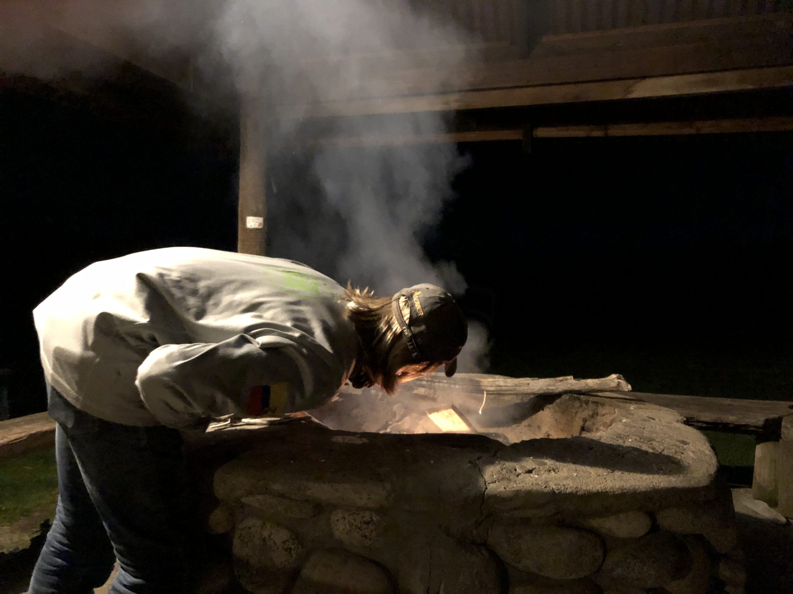
So a quick stop in Westport for fuel and some cans of food for dinner and with the last light leaving us we smashed out the last few kms and ended up in Mokihinui. We’d gone as far as we could today, and our goal for starting out tomorrow was right on our doorstep. What an effort, we’d ridden 685km without getting up at sparrow’s fart and still had time to chill at the sensational Gentle Annie’s Seaside Accommodation. Another sensational spot. Just the place to chill with some GAS favourites – yep, you guessed it, a fire, beans, music and whisky!!
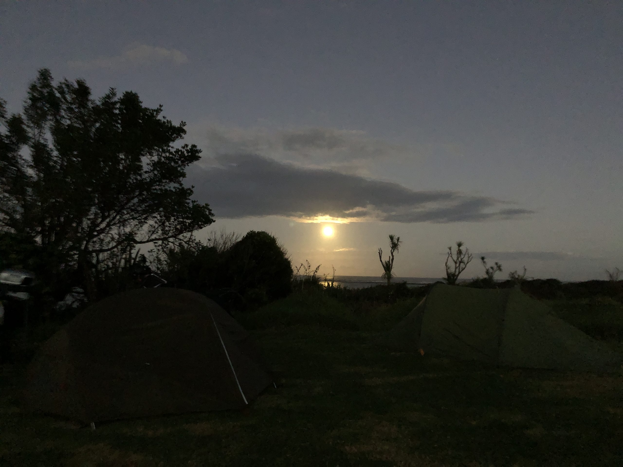
Gentle Annie’s sits on the north side of the Mokihinui River right down on the ocean and we camped right down on the last bit of grass before the beach and the big waves crashing in. We were after serenity, but what we got was a intense serenading by the high tide. In fact, it was so loud I had to put my riding earplugs in just to go to sleep. But in trade off, the spot gave something back when I woke up for my midnight pee and the moon was full and high above the ocean. It was lighting the night like the late evening sun, it was beautiful and surreal, a really special moment, for a moment before I had to get back into my sleeping bag and get my earplugs back in before I froze and went deaf. But what a special moment it was!!
Day 2 started with another serenading by the waves, after being woken by an alarm, quickly packing up and having some creamed rice before hitting the road for our scheduled departure time of 8.50am. Now you might wonder what the hell is going on here – have we ever mentioned such a specific departure time? Usually a GAS morning consists of getting up in a very leisurely fashion, definitely with no alarm, before chilling out for a bit, having a feed and begrudgingly packing up our things and hitting the road. A usual GAS foray starts late and finishes late – maybe that should be our new motto – GAS – adventures starting late and finishing later!!
But today was different, we were on a schedule, we had things to do and timeframes to do them in. Remember we’re heading up to Karamea to go into the Oparara Basin and get the Guardian Post code word for my son. Well, as it turns out, the Karamea Bluff road got absolutely smashed in one of those storms I mentioned earlier. So much so, that they were keeping it closed for the majority of the time and only opening it for 3 scheduled passes each way through the day and they were chaperoned. Pass one was at 9am and we had to be there, Pass 2 was at 1pm and we needed to be on our way back out. We’d decided we needed to smash this out quickly to leave us more time for what else we had planned on this trip. So we set an alarm – URGGGGHHHH!!!
But we got our timing perfect, as I cruised up to the road closed signed, they opened it and the chaperone headed off, I didn’t even need to slow down. It was so cool knowing I had not wasted a second of sleeping time to make our scheduled chaperone. We spent the next hour cruising over Karamea Bluff at very slow speed, dodging mud slides being cleared, dodging big machinery clearing the mudslides, and dodging a multitude of workers sitting around seemingly not doing much. But we were at the head of the pack and when we got cleared to go, we headed off, and fast. We had things to do.
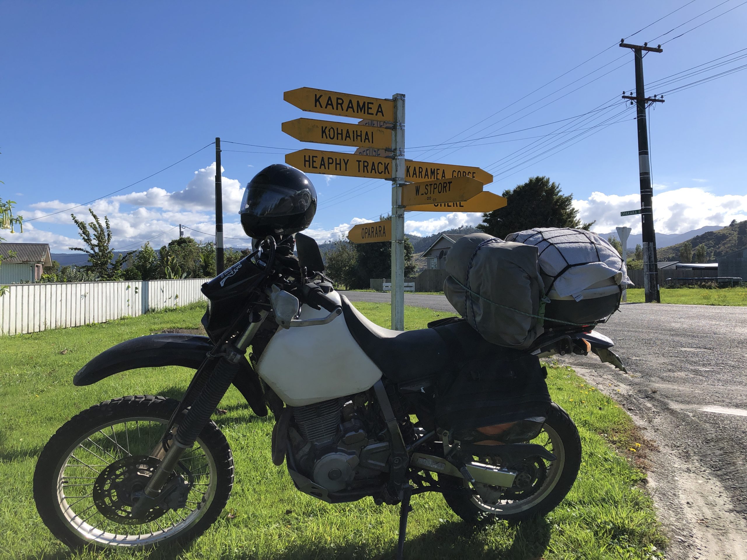
A quick stop in Karamea showed we could get fuel on the way back out, which was a relief so we continued on all the way into Oparara Basin. Now Oparara is one sensational place, but it is an incredibly underrated or even unknown spot. I’d bet if you asked most Kiwis they either would have never been there or more likely wouldn’t even know where it was. I’m incredibly lucky in that I’ve been going there since I was a kid growing up on the Coast, but a prodigious traveler like Steve had not even been there. It actually felt pretty cool to be taking Steve to a place he’d never been, especially knowing how fantastic the place is.
It does have 15kms of gravel road to get there though – now don’t take that as a negative, unless you’re in a car, but if you’re on a DR it’s a massive positive. So off we went, over the first ridge dropping down into this huge bush clad basin. I have this memory of that bush clad basin from when I was younger and it certainly doesn’t disappoint coming back here again.
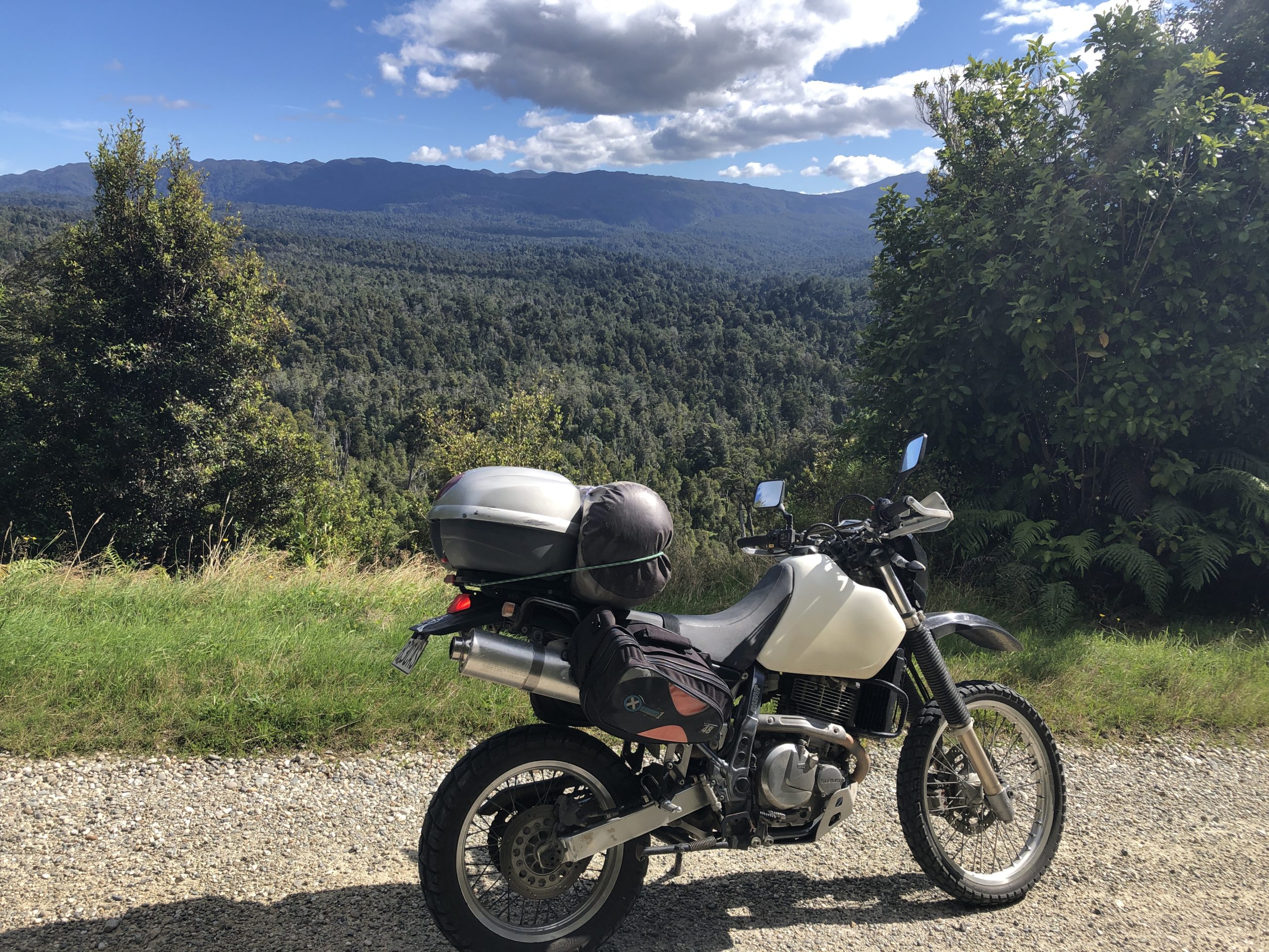
We arrived at the Oparara carpark and mapped out a schedule. We had about 90 mins and up to 6km of walking tracks to cover if we wanted to see the main sites – the big Oparara Arch, the smaller but still incredibly cool Moria Gate Arch and the one that’s always fascinated me – Mirror Tarn. We realised it’d be a bit of a workout to achieve all of this so stripped down out of our riding gear and donned the shorts and t-shirts. While we had our pants around our ankles a little South Island Robin cruised up and started having a whiff of our riding gear – crazy little bird!!! It must have been looking for a hit – it certainly would have got one. But as with these little robins, it was incredibly curious and friendly, having a good look around our bike, helmets and gear before hopping off, high as a kite!!
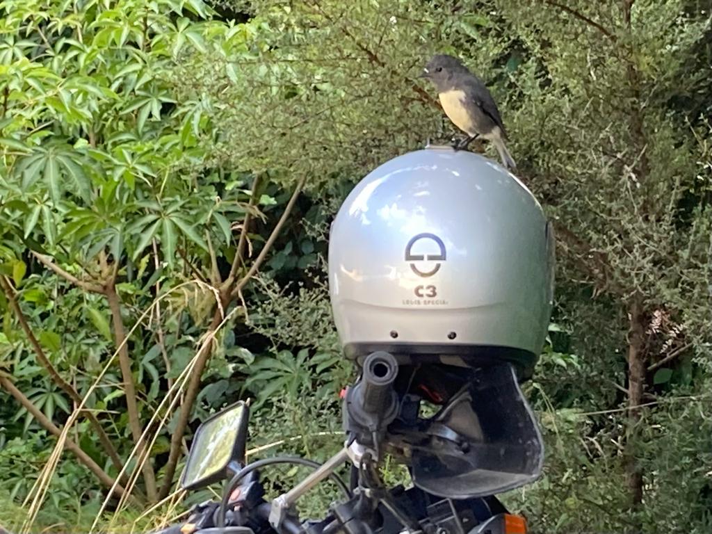
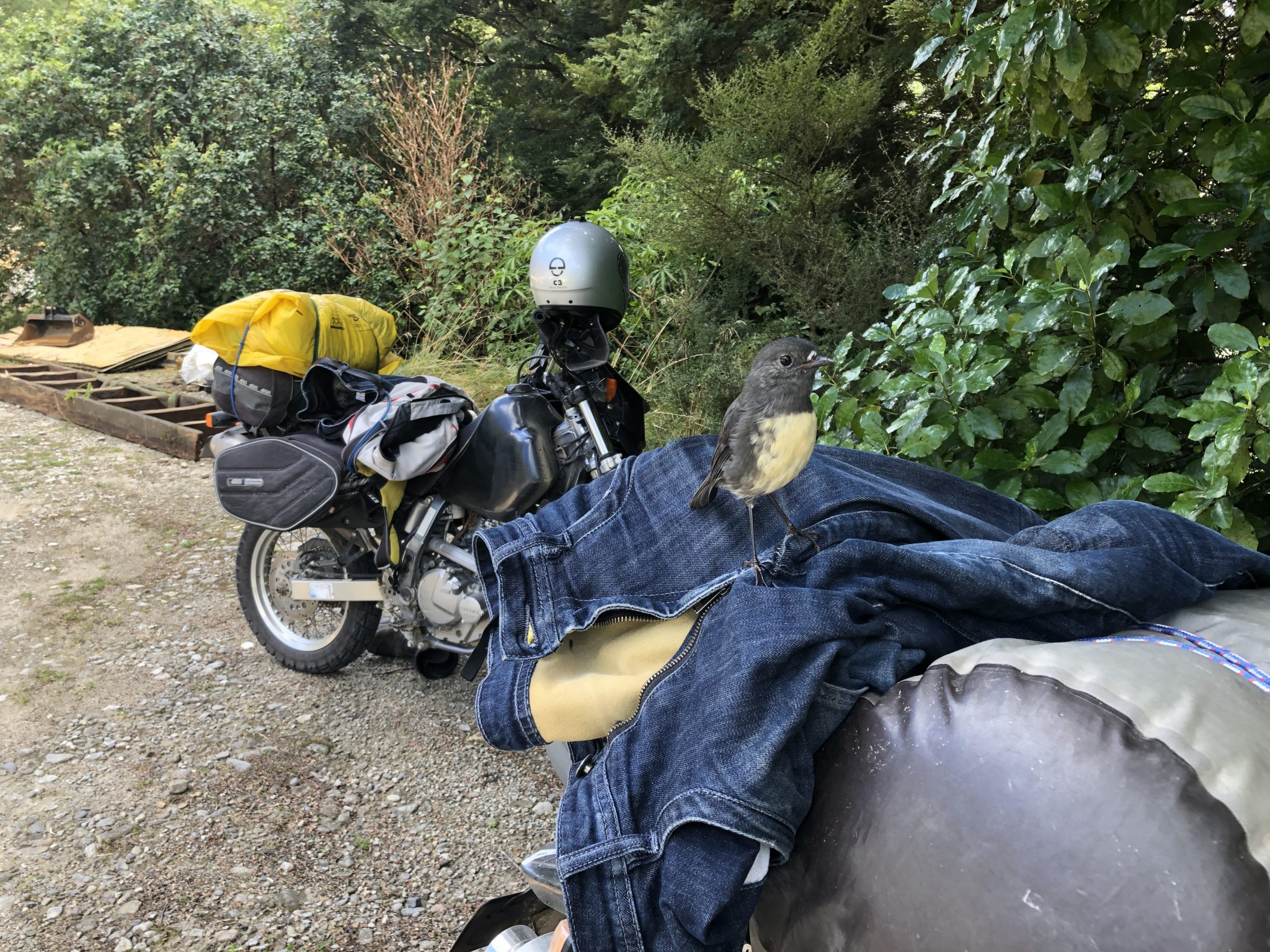
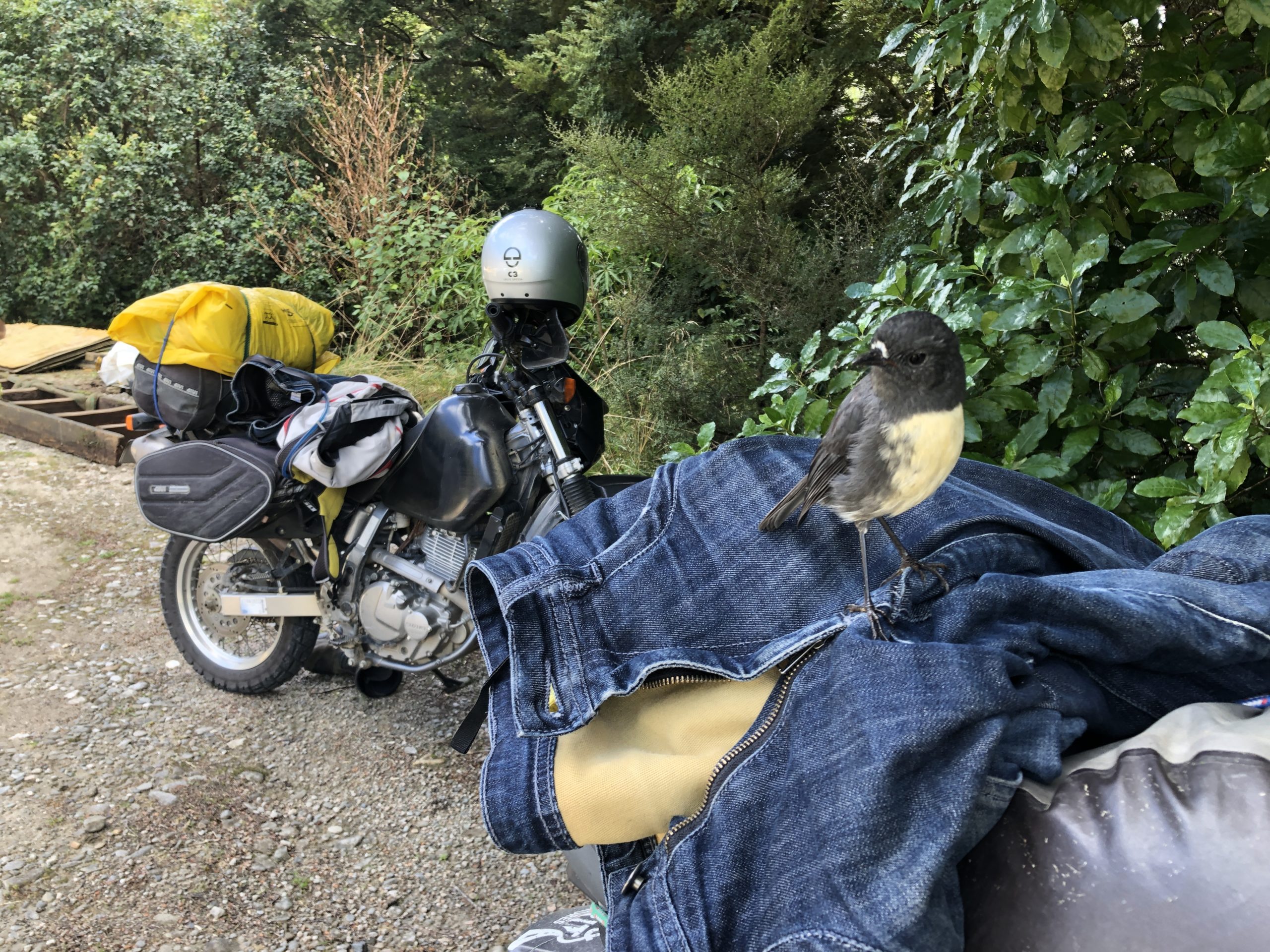
We sauntered on over to the info kiosk and found step one of the impetus for this journey – the Oparara Guardian Post. For instructions on how to get here – go to this link. For instructions on the code word – go to this link 😉
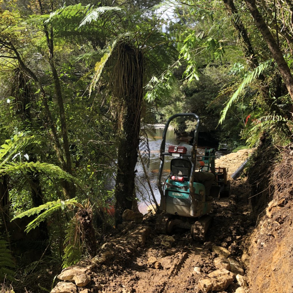
So, with our exercise gear on, we hit the track. We pounded our way up to the big arch – a km or so up the track. It was steadily uphill all the way, including climbing up and around a couple of guys and a digger clearing a more pristine path for the tourist masses. The day was stunning, the scenery was epic and we were having a ball. We reached the big arch and it certainly didn’t disappoint. Steve’s jaw hit the floor, before he regained some composure to echo a yodel into the massive void. It really is a special place, not only the arch itself – but the adventure you have to go on to get to it. And it felt like we’d already had an amazing adventure, yet we were only 1.5 days in. We’d certainly earned this spectacular, so we stopped for a moment to soak it all in. Then took a couple of deep breaths and powered on.
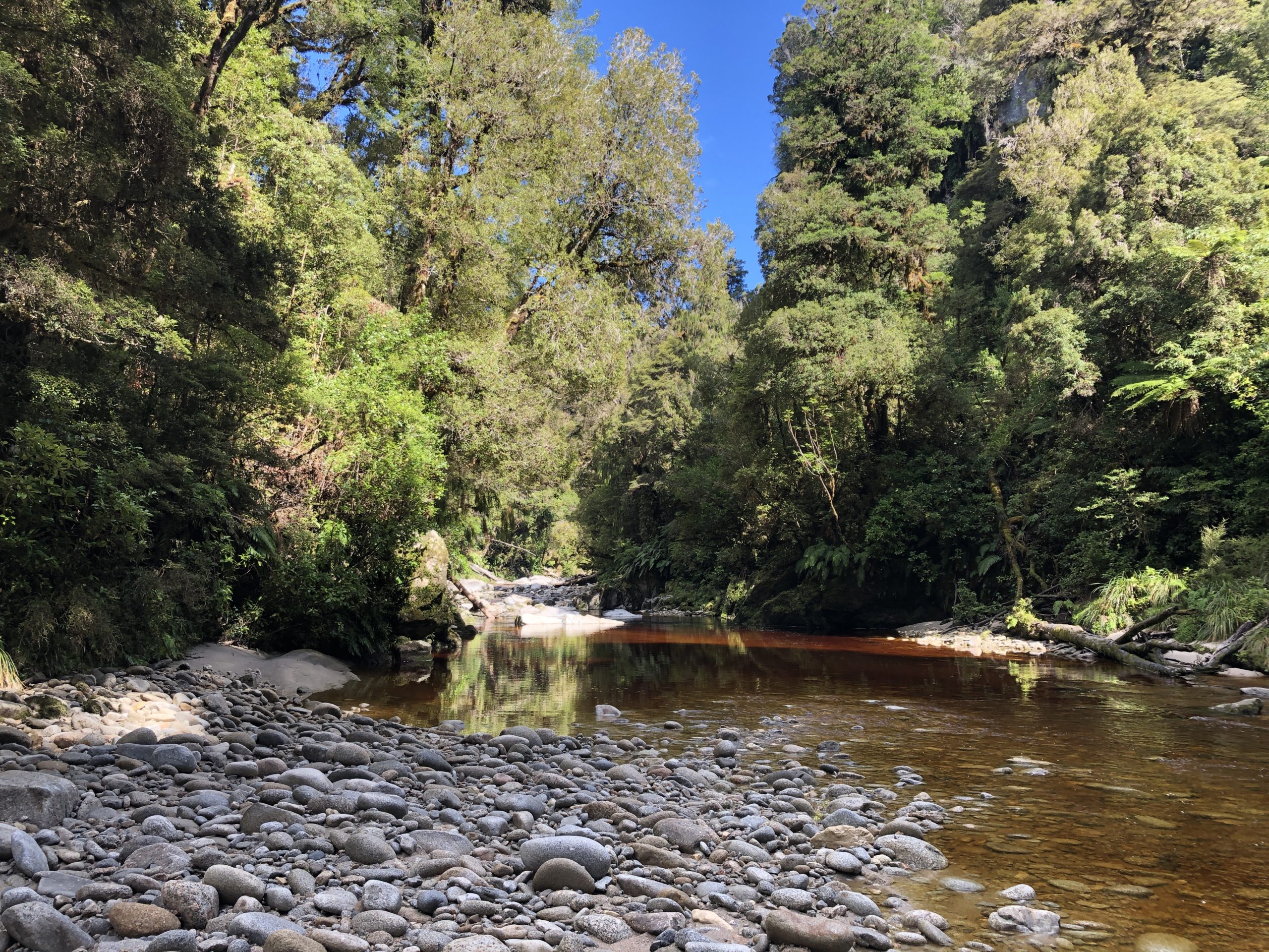
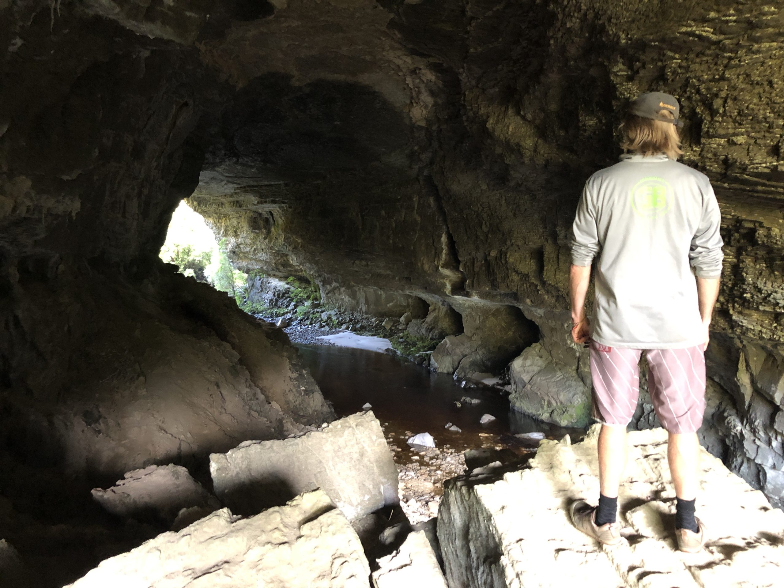
Back we headed to the main carpark and off towards the Moria Gate Arch and Mirror Tarn, a mere 4km loop with about 60m mins left on the clock. So, I’d never really actually known the name of Moria Gate Arch from when I was young – it was just Oparara. But I’ve now learnt, to some relief, that it is not named after the movies and NZ’s link to the modern televised world of Lord of the Rings, but was actually named as such back in 1984 in reference to the J.R.R Tolkien books. And in appropriate fashion, Moria Gate is nestled away hidden in the bush, when you stumble upon a small rocky opening. You climb down through the rocky opening, leap from rock to rock and find yourself in another world. It is a spot you cannot beat – dark, light, red, green, blue, white – I don’t know what else to say, it’s just so frickin fabulous!! Again, we loitered, soaking it all up. But knowing we had the last part of a marathon to complete we finally drew ourselves away and pushed on.
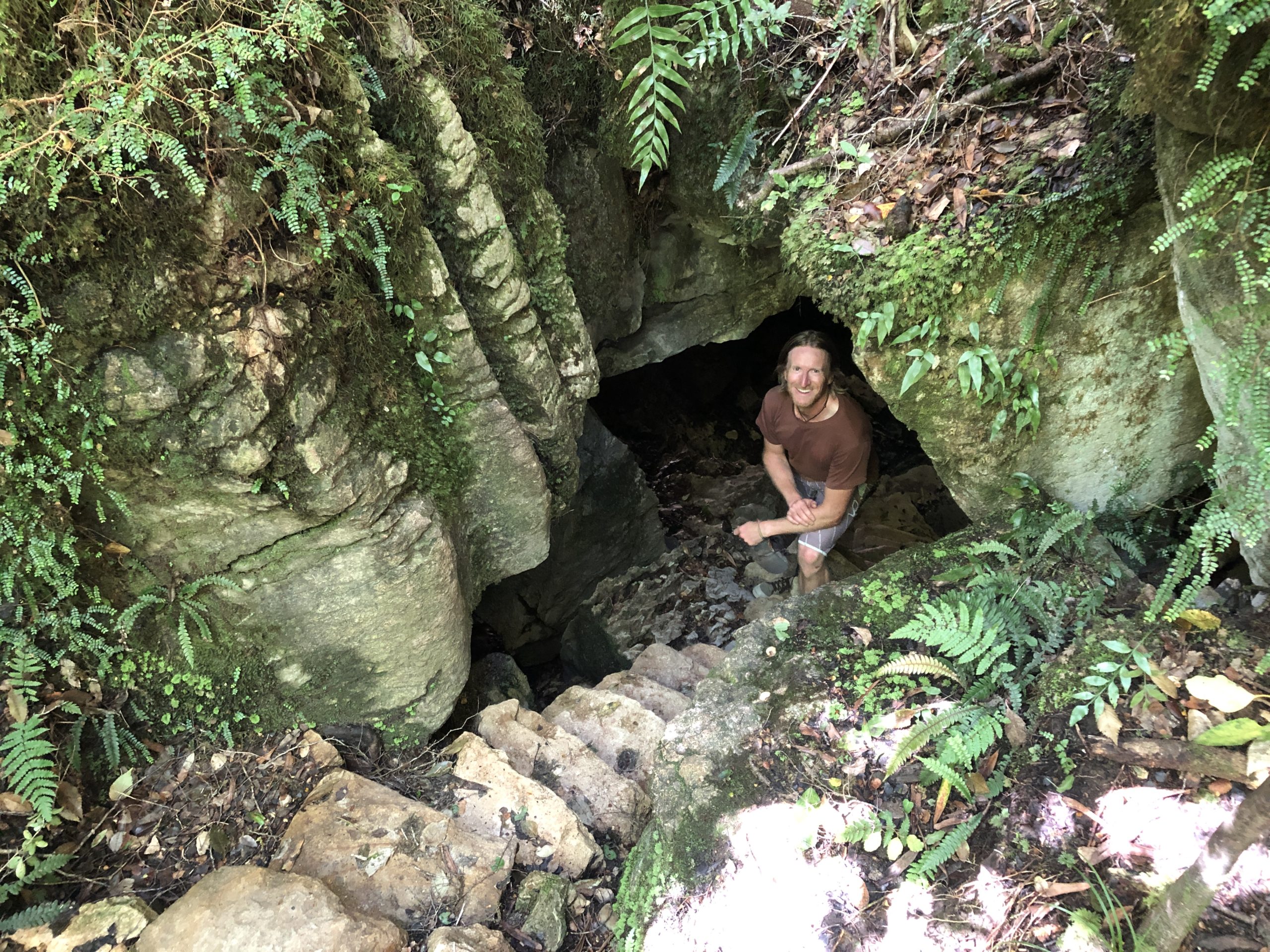
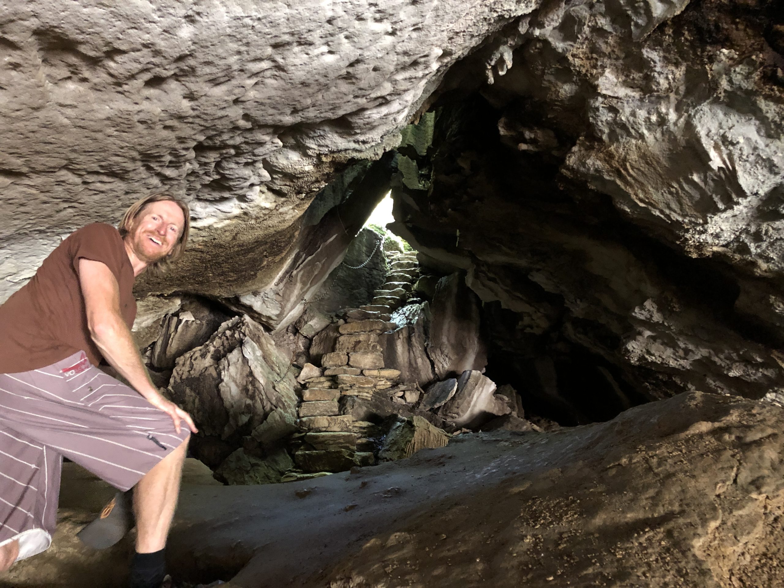
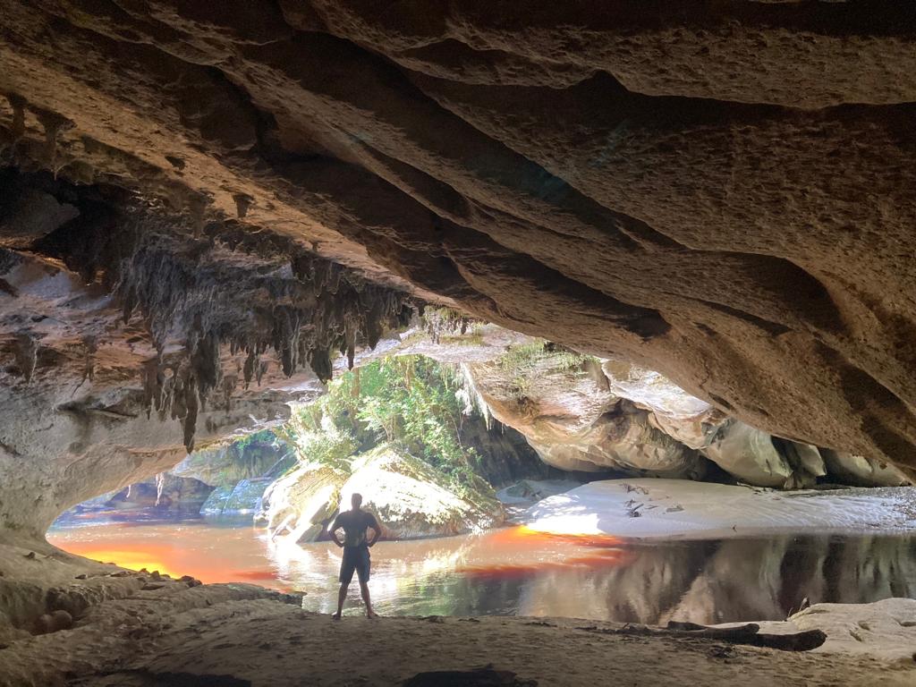
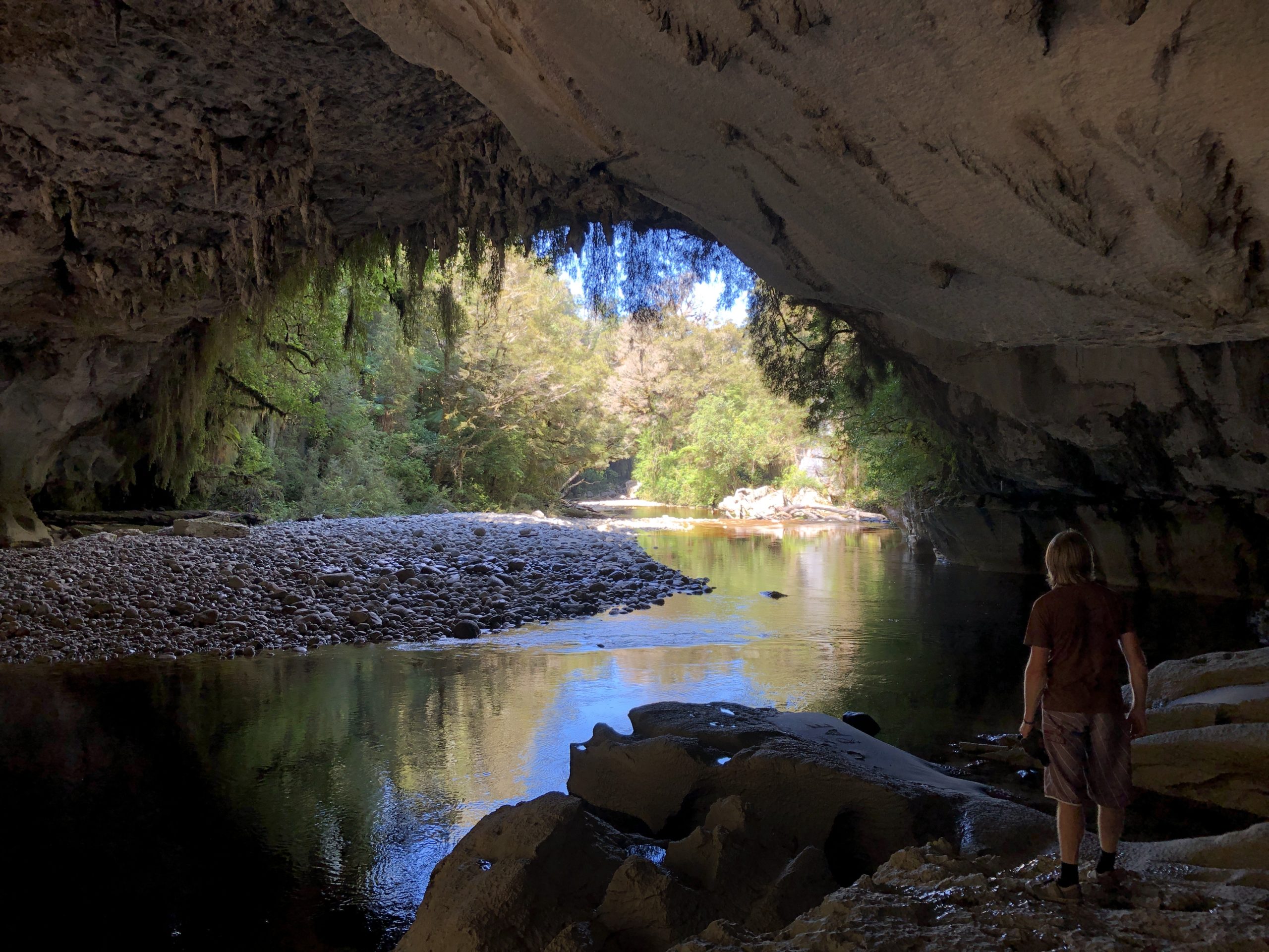

So you ask, why red is one of the colours you see? Well, the rivers here are so full of tannins that they go from clear greens and blues to a crazy tea-like colour. The contrast it makes with the surrounding dense green bush is so fantastic. As if this place couldn’t get any cooler, you add this little extra just to top the place off. Sweet as!!!
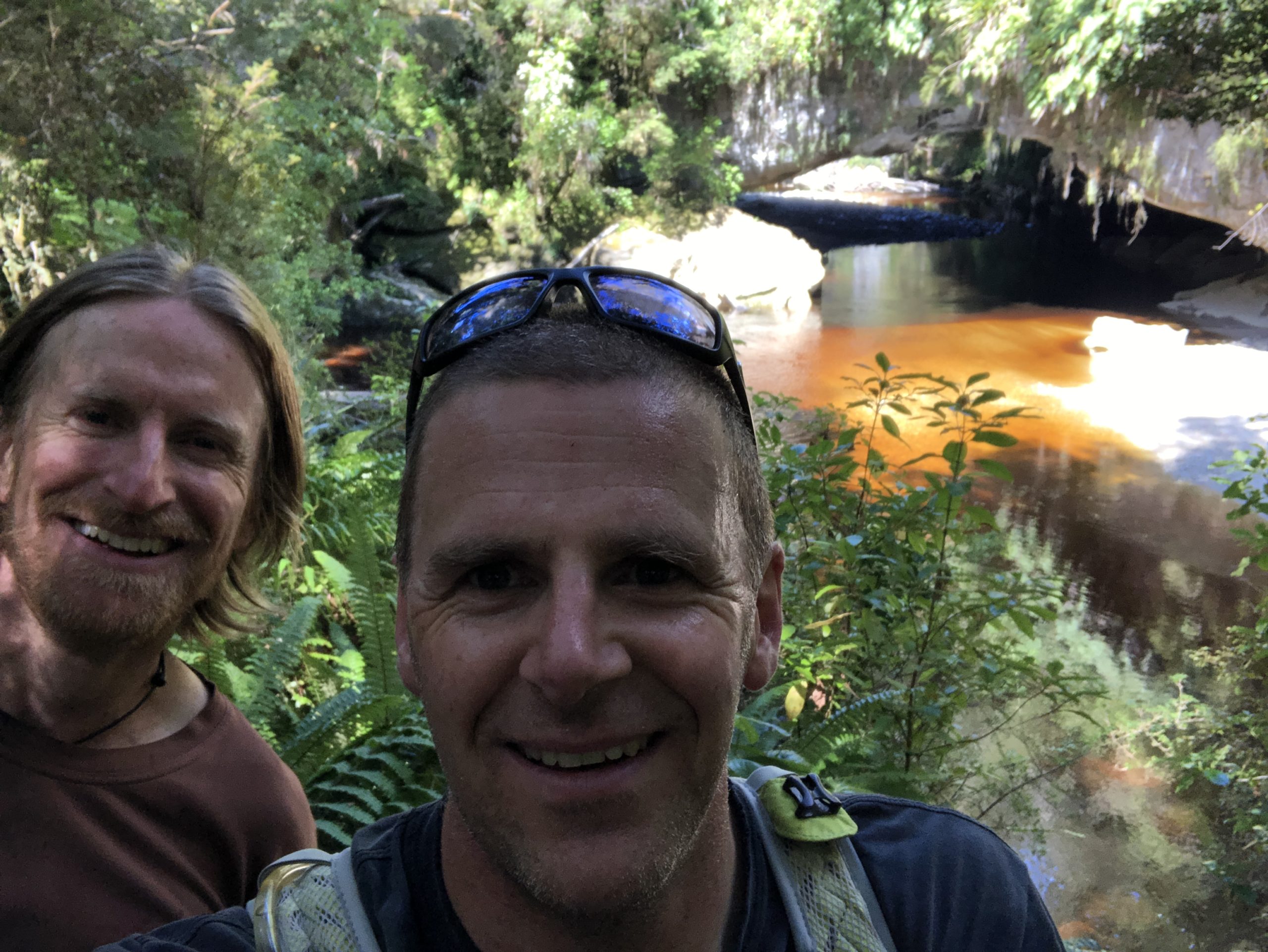
The final part of the triumphant trilogy is not The Return of the King, but a special spot called Mirror Tarn. It really doesn’t need much description – I’m sure you can guess what’s going on here. We stopped for some reflection and some reflections, it was a whirlwind tour, but it was so worthwhile. While reflecting on the world at large and our adventuring place in it, another curious little robin came over to see what was up. It was certainly not phased by us noisy, sweaty, stinky humans, it just wanted some company.
From Mirror Tarn we smashed out the final km or so back to the bikes – we’d successfully seen the main sites in the Oparara Basin in the 90 mins allotted to us, due to the road challenges – now we had to kit up, get back on the road, fuel up in Karamea and reach the chaperone point by 1pm.
Result – we’d timed it perfectly and completed all of our tasks and rolled in 2 mins before the cavalcade suited and booted and hit the road, us at the head of the queue as planned!! We meandered on to Corbyvale before stopping for a break in the sun, while the team coming in the other direction reached us and passed us by, and then we were back to it, meandering along in the afternoon sun.
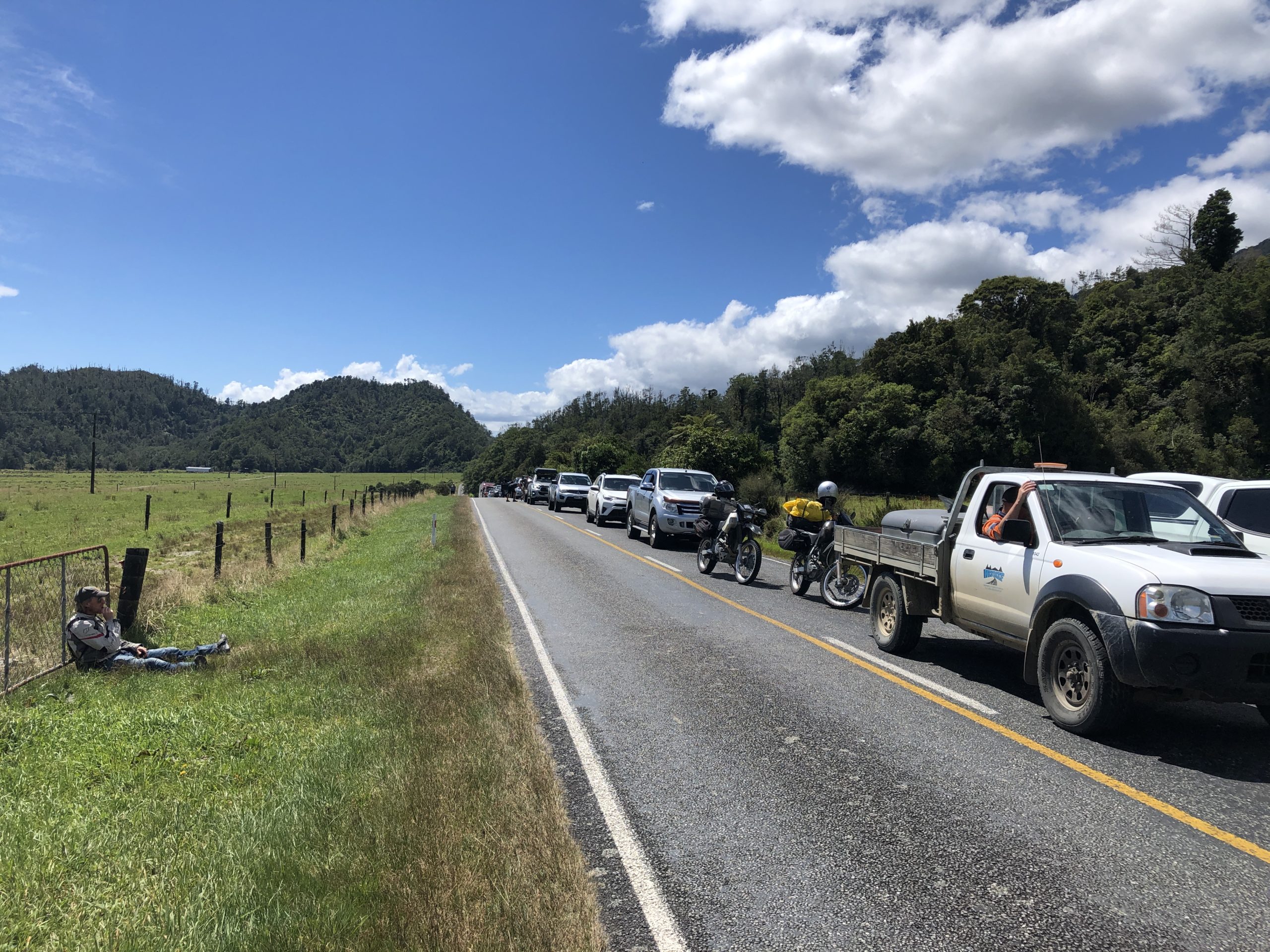
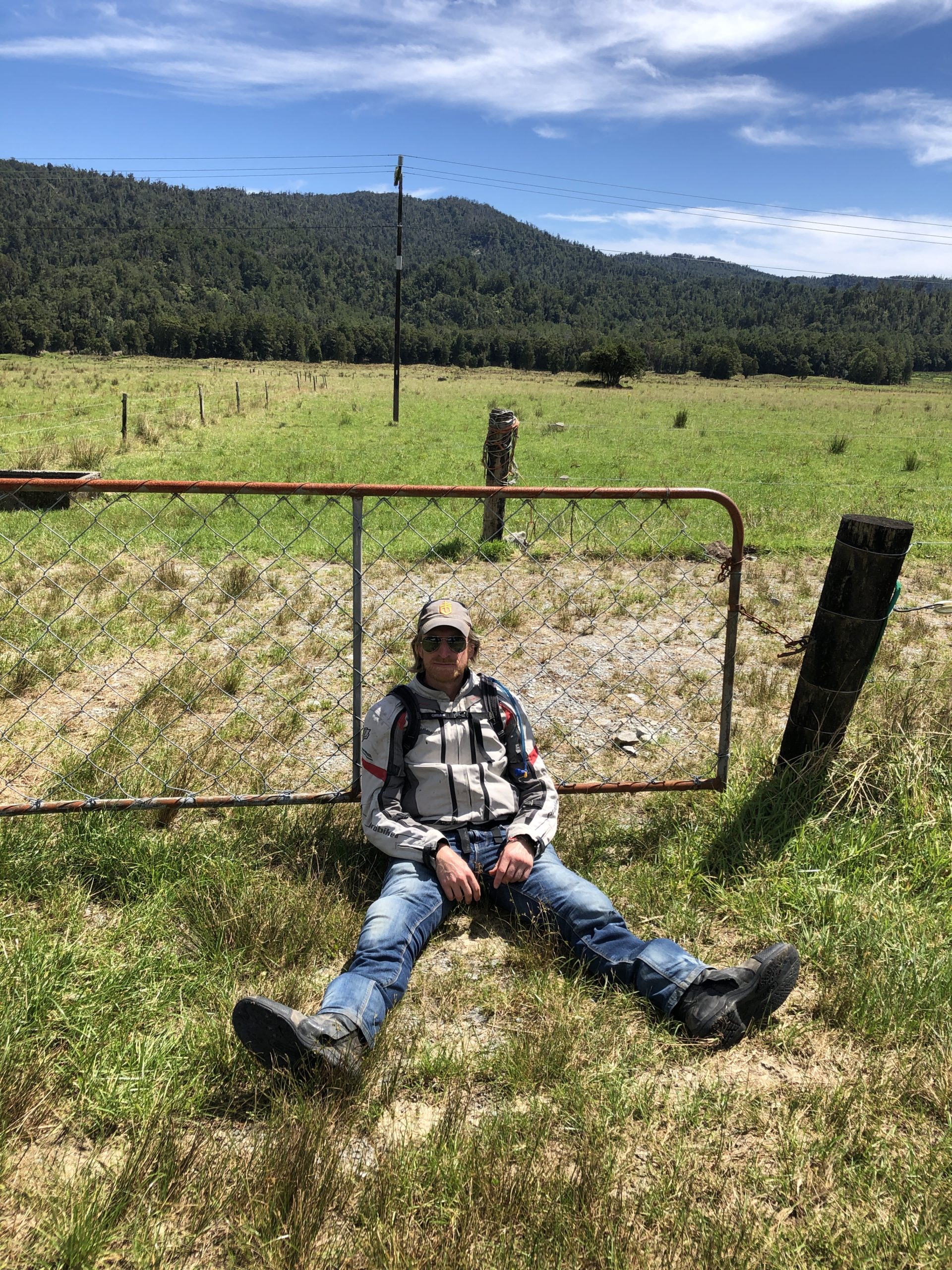
After a while we had passed all the working sites and low-and-behold the chaperone waved us through. What the hell was going on here??? We came up beside him and he indicated we could go, and signaled for us to enjoy ourselves. Mate, you are a genuine legend!!!! And quite probably a fellow bike rider!!
We could not believe our luck, what lay in front of us was perhaps 20km of stunningly winding roads, and the more important thing – a guarantee that there was no vehicles up ahead to slow us down and further to that, a guarantee that there was no vehicles coming up the hill in the opposite direction. This is dreamland, and we treated it as such. What a 15 mins we had, weaving our way back down to Mokihinui. What a special treat, not something you could just order up, even when putting a bit of sweet cash in the right hands. Just another special Grit and Sprit moment for the memory banks – it’s making me glow even thinking about it again as I write this!
So, after those highs we stopped in for some lunch at the Mokihinui Tavern and you could not wipe the grins from our faces. But what a weird and wonderful experience lunch at the Mokihinui Tavern was – the publican was both welcoming and yet cold and dispassionate about having outside visitors – his wife on the other hand was lovely and so happy to sort us out a massive feed. So we sat at a random tavern in a tiny village while the sun beat down, eating a home cooked feast. After lunch we just chilled for a minute or two and just happened to catch some shut eye. Oooops – oh well, we’d had an incredibly successful morning and we were ahead of the schedule we’d kind of set ourselves – the rest of this trip had much less of a set schedule – it was time to just see how things rolled… oh dear, is that a sign of things to come… well, you’ll just have to wait and see!
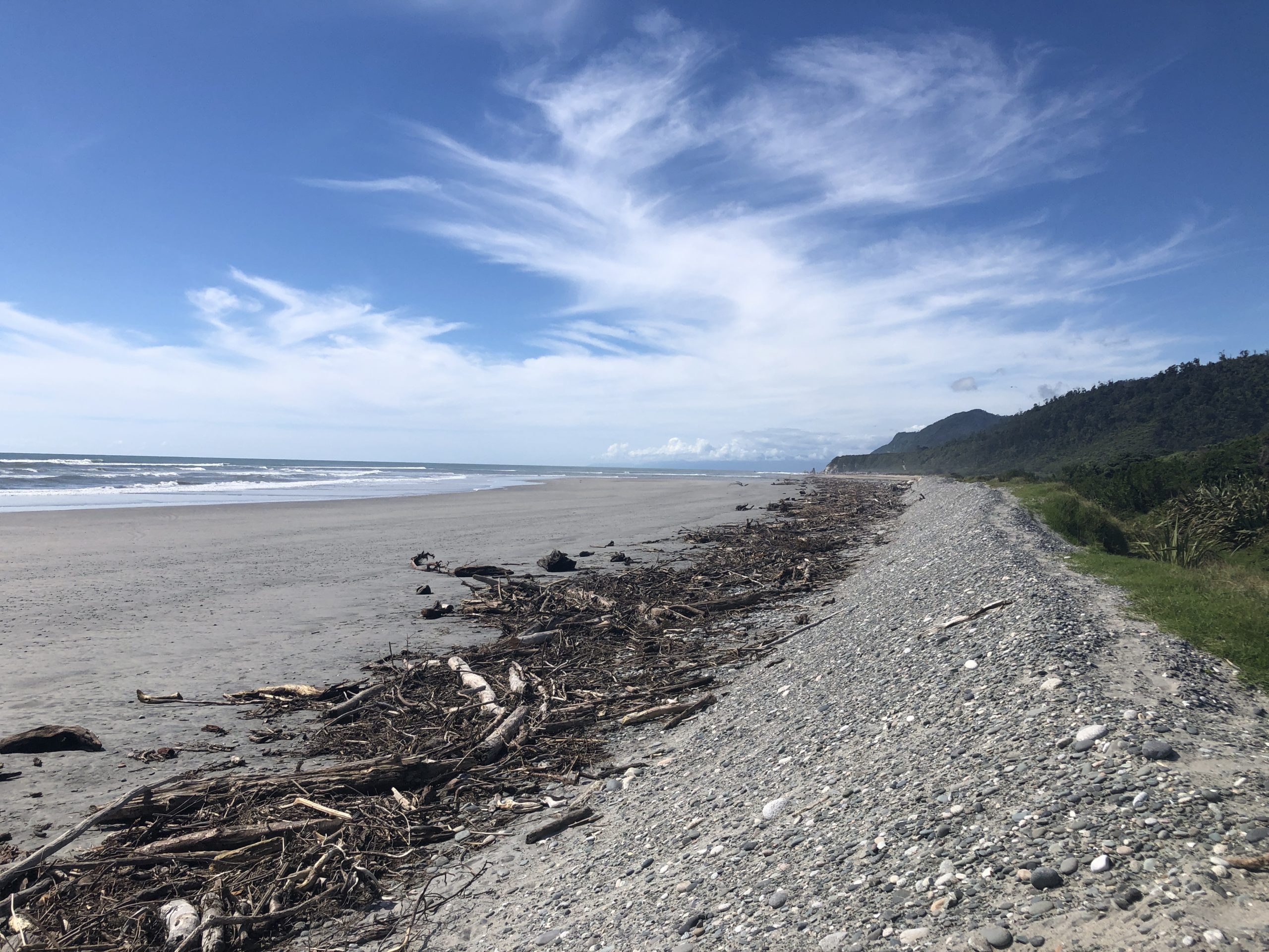
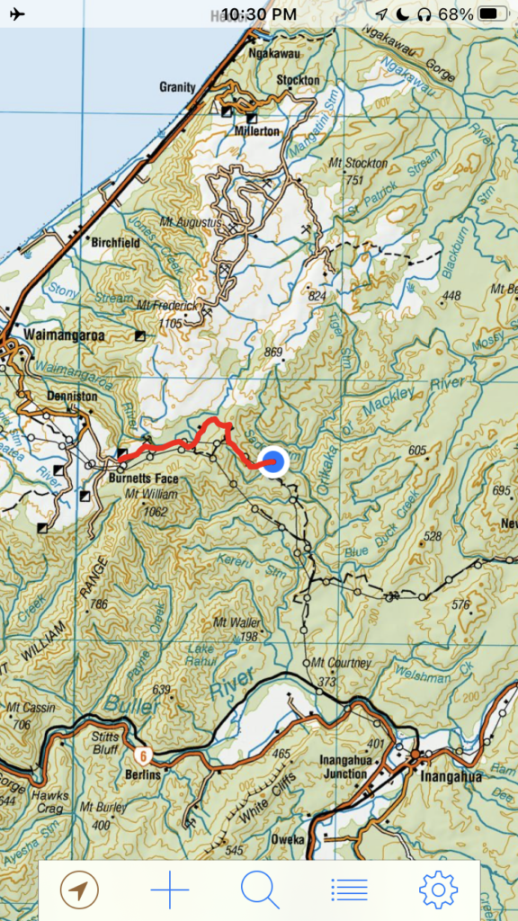
Given we’d been able to fill up in Karamea, meaning we avoided a needless trip back into Westport, the next phase after lunch was to head to Denniston and try to find the start of the Mackley Track – which heads off into “tiger country” behind Denniston. Interestingly, the map we had called it the Orikaka OR Mackley – so become acquainted as you wish – but we were headed for the bush!!!
Now the history of the Mackley Track for Grit and Sprit eventuated from looking at a map, we were searching for tracks around the South Island that we hadn’t done yet, and that appeared to have some type of challenge to them and spotted the area in behind Denniston. I’d asked my Dad, who knew the area pretty well, but he didn’t think there was any roads through the area. Then via a stroke of luck at the Brass Monkey we ran into some dudes who knew the top of the South Island pretty well. We asked about the Mackley Track and they said they were pretty sure there was a road through, but they could just call their friend who lived at one end of the track and ask him. Luck or fate?
Whatever it was, it told us it was a thing. The guy confirmed you could get through from Denniston to the Iron Bridge in the Upper Buller Gorge. It was rough but totally manageable, just had to get up a steep bank coming out of the last river crossing but it was totally doable. Sold, we added in to the list!!
So, now eight months later here we were, in Denniston searching for the start of the Mackley Track. But first, we checked out the historic Denniston coalmining area – what a place this is. We read some crazy stories of people living here in the peak of the coalmining era, known back in the day as Hell on Earth halfway up ‘The Hill’. And the freakiest bit of it all is the infamous Denniston Incline. It was a engineering triumph; the incline plunged precipitously 548m in a distance of just 1670m, with grades as steep as 1 in 1.25 (80%). Between 1879 and 1967, 13 million tonnes of coal was sent down the incline to nearby Westport. It was New Zealand’s most productive coal mine and it all had to go down this ridiculously steep set of tracks in coal wagons. Stories of the brakes failing and steel coal wagons flying down the hillside and destroying anything in their path, including workers on the incline. Crazy place!!
Following our little coal stoked detour, we headed out the back of Denniston and found a track leading off into the bush, we could see it sidling around a rocky outcrop further along the ridge – this must be it. Our topo said it was, so we hit the track with excitement and anticipation of another great adventure… little did we know what we were heading into… oh dear, as I write that I think how often have we said those words? Hindsight and GAS is a wonderful thing!!!
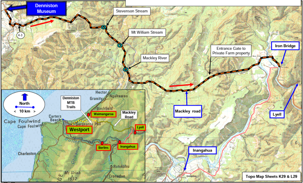
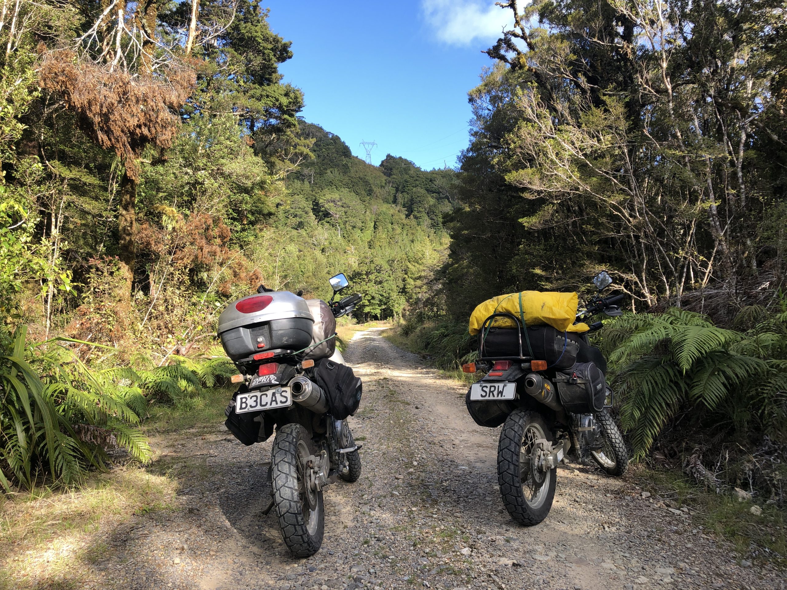
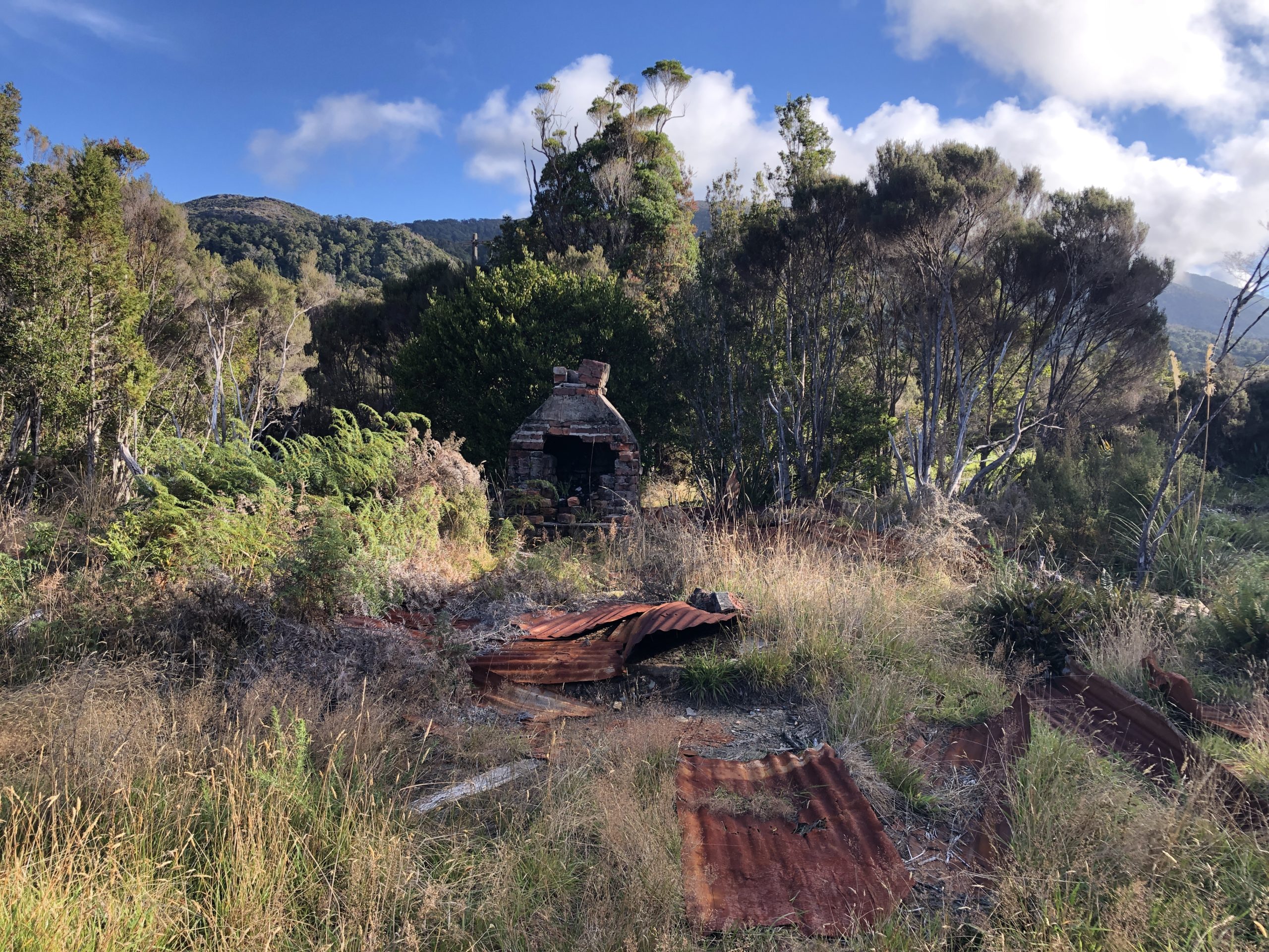
Mackley Track was pretty rugged but nothing too challenging in the beautiful late afternoon sun. We bumped and bounced along for a while, passing beautiful little bubbling streams, lovely little stands of native bush and wonderful little black dig outs where people obviously come up here to get some free coal for their fires. It was all very chilled after a morning of flying around at 100 miles/hour. We love this type of adventuring, nothing to pressurised, nothing too stressful, just lapping up whichever environment we have found our way into. Then waking us from our dreamlike adventuring the track split – the topo said it met back up a km or so down the line so we decided we’d test each track – Steve going right, me going left. I’m not sure what Steve found but for me all of a sudden it went from simple pretty flat terrain to heading up an incline where I was hanging onto the handlebars for dear life – we had hit tiger country!
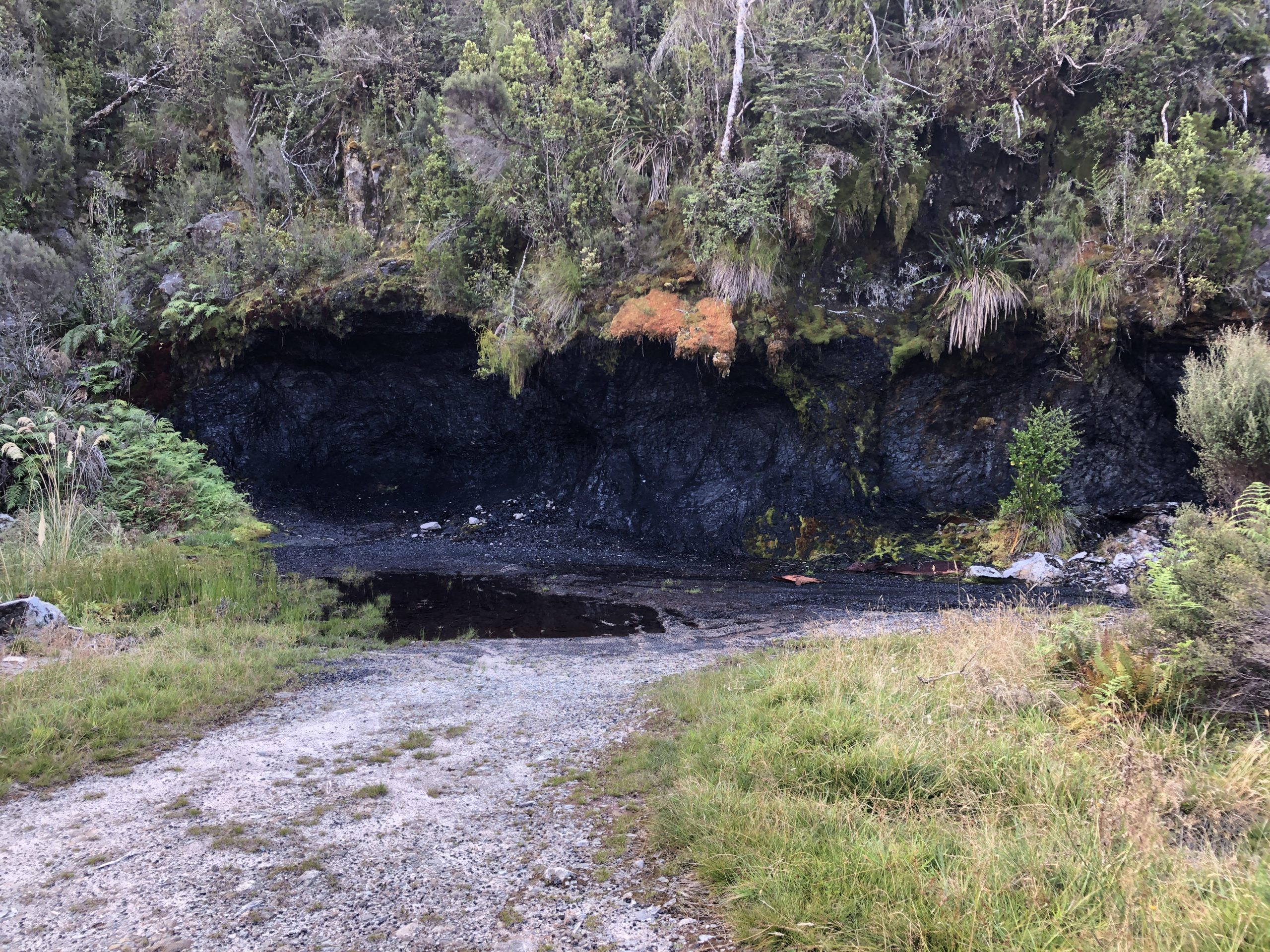
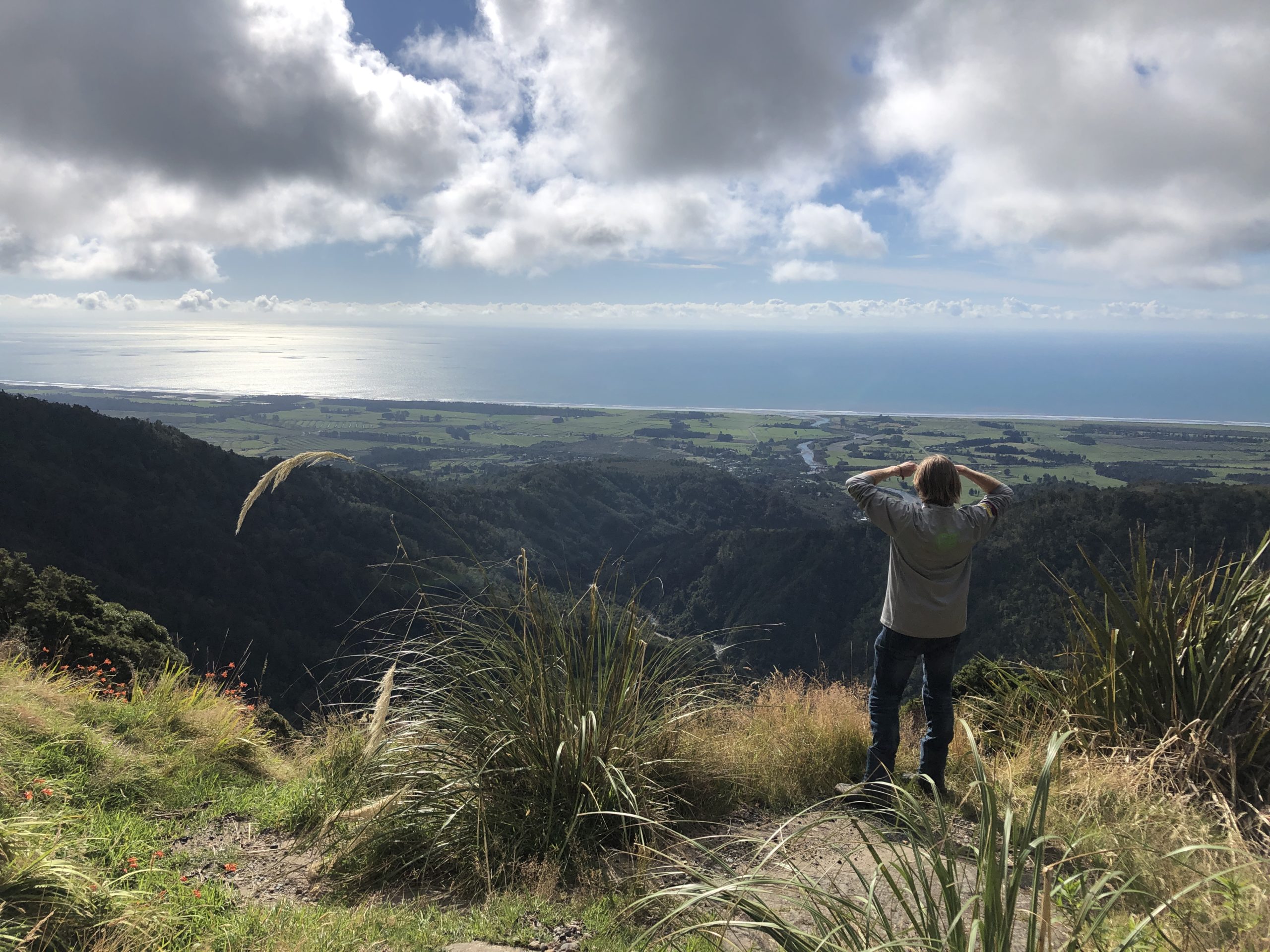
We met back up and carried on when all of a sudden the land if front of us seems to drop off the side of the earth – way below us we could see bush clad peaks as far as the eye could see – it was spectacular! But it also meant the track had to go down there – oh s..t!
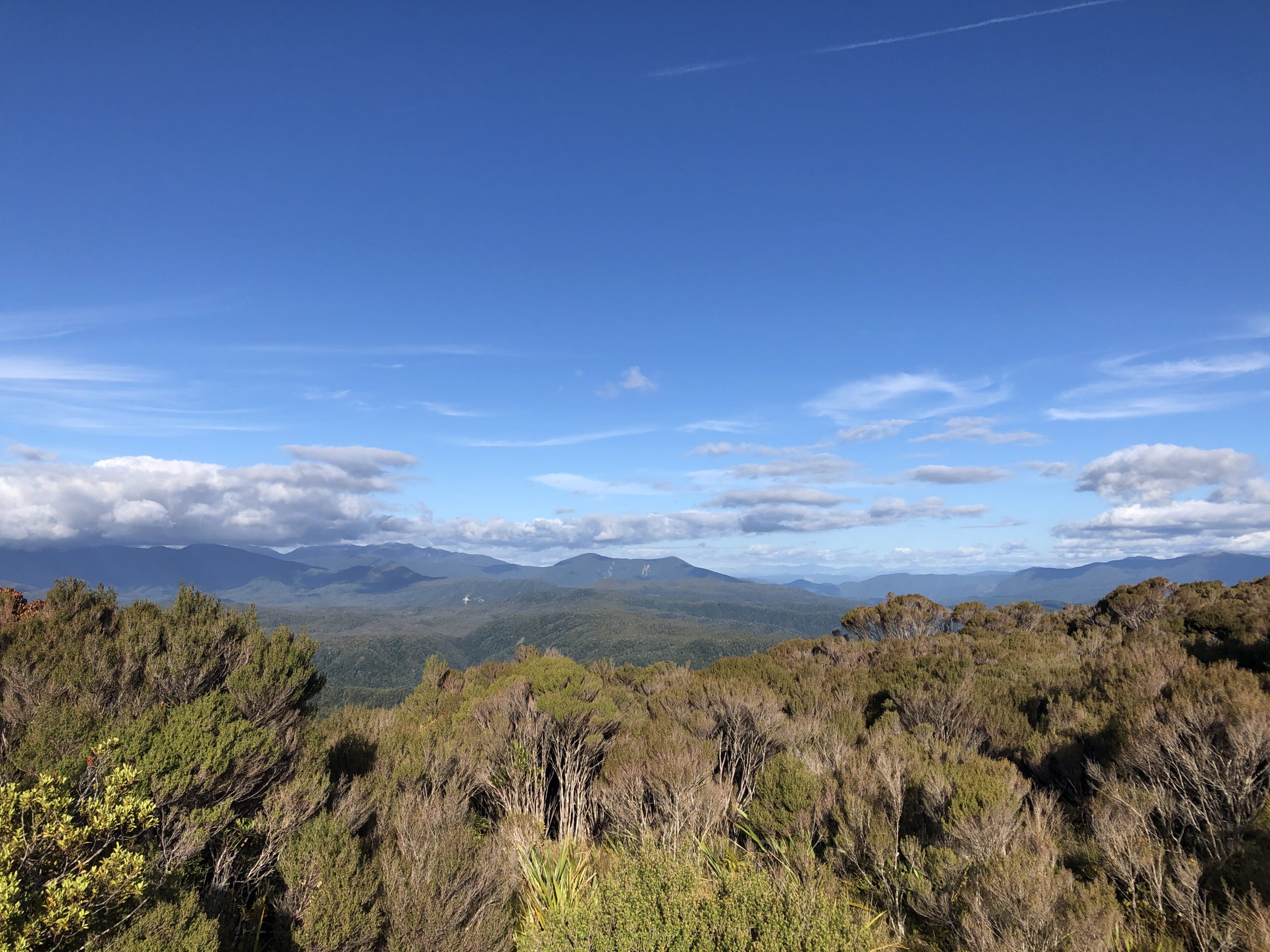
As it turns out, maybe we should have at least Googled Mackley Track before we went for it. I’ve since found what is a pretty good outline of what the track involved, after the fact – and it is steep – see below the drop off from the highest elevation to Stevenson Stream – about 600m elevation drop in about 3kms – gradient of 20% which Wikipedia lists as “steep road”. But at it’s steepest the drop is 400m in just over a kilometre – which is a gradient of just under 40% – Wikipedia lists 30% as “extremely steep road”.

So here we were cruising along, loving our adventuring life, just chillaxing in the afternoon sun – when we were awoken with a slap in the face. Something beyond extremely steep road – let’s call it ridiculously steep road – and the surface was not ideal – loose gravel, large stones, small boulders, stupidly tight hairpin bends, drop offs at the outside of the stupidly tight hairpins bends that fell off for hundreds of metres – all of a sudden we were awake, very very awake!!! But we were adventuring so we were also loving it!!!
Around tight tight hairpin bend I veered slightly towards to outside and a got a face full of a scree slope sliding a couple of hundred metres straight down – my nose seemed to be heading that way, uh oh!! Any good bike rider knows to look where you want to go, not sure whether I’m a good bike rider but I looked at a tight turn on this steep slippery gravel…
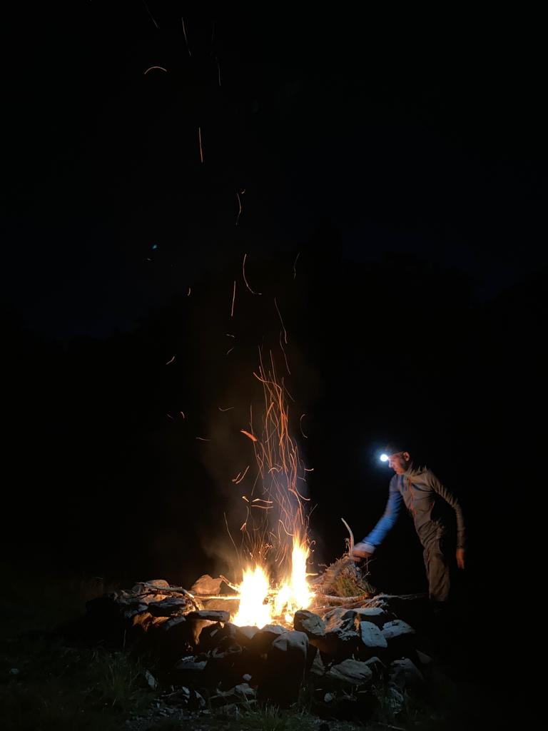
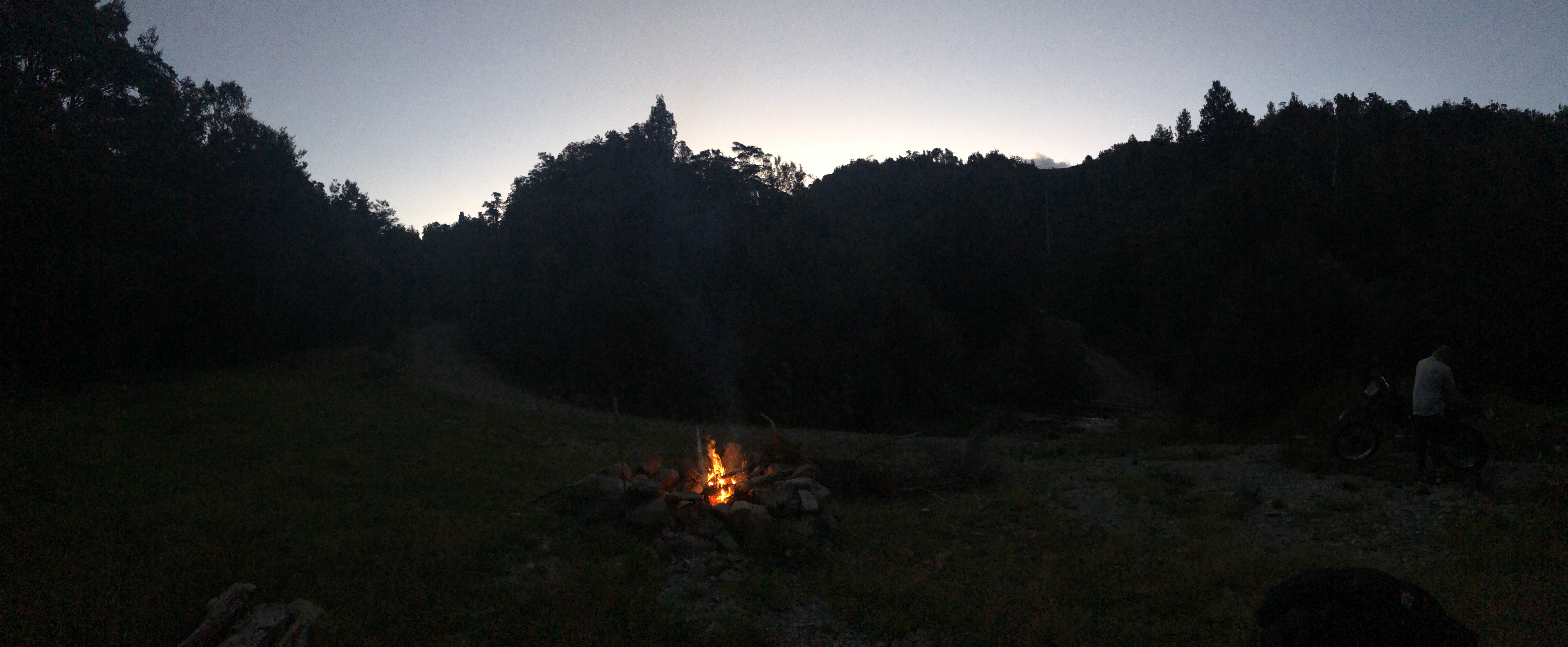
…and thankfully my tyres gripped, and I pitched away from that scary scree slope and off down the next bit of 40% gradient track all the way to the bottom. When the track finally flattened out a little bit we hit a small stream, now we know it as Stevenson Stream and immediately on the other side a little flat grassy area, perfect for a couple of tents. There was already a fire pit there, so we clearly weren’t the first people with a similar idea. So after the heart pumping drop off over the last few minutes, and the fading light we decided it was a good time to stop and set up camp. Clear blue skies, beautiful rainforest surrounding us, a meandering stream bubbling away and a ready made fire pit and logs to sit on, right in the middle of tiger country – what a spot – we were absolutely loving where we’d arrived at!!
You know what follows – fire, tunes, beans, whisky – in a spectacular spot – all after a quick dip to cool off in the fresh clear waters of Stevenson Stream – enough said!!!
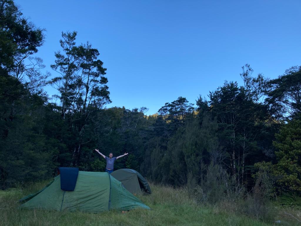
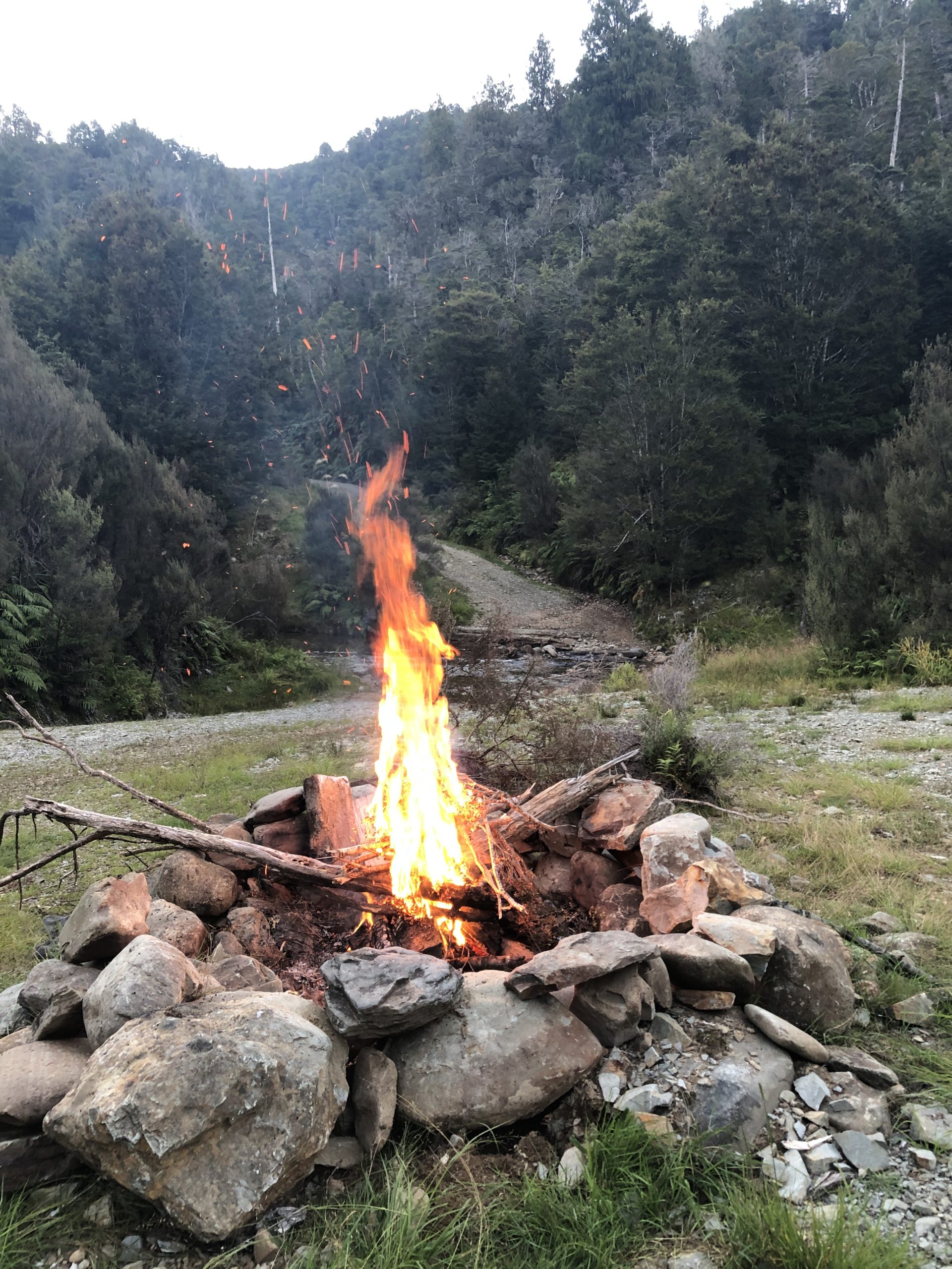
And here ends Part One of this marvelous adventure – what awaits us on Day 2 of the Mackley Track – more 40% gradients? More stream crossings? More spectacular tiger country? And what lies beyond – we still have to make it to Guardian Post Two at Totaranui – will we make it? And what about Anatori? What lies ahead with West Coast Fever? Will the fever hit us hard, giving us adventuring sweats and chills? Or will we sail plainly through the fever and hit more miraculous highs?
Come back for Part 2 (when I finally get around to writing it!)…
You guys are crazy, but in a good way. Looking forward to part two get that pencil licked.